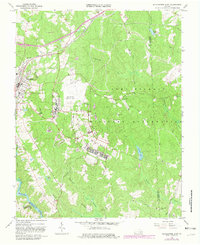
1966 Map of Blackstone East
USGS Topo · Published 1981About this map
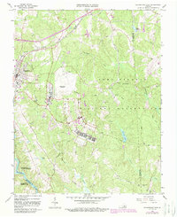
The Fort Pickett Military Reservation dominates this landscape, covering a massive territory where the Blackstone Army Air Base and its runway system sit central to operations. The transition from civilian to military life is evident at the western edge, where the town of Blackstone borders the reservation. This area shows a landscape defined by strategic planning, with Western Reservation Road and numerous observation towers overlooking the drainages of Tommeheton Creek and Butterwood Creek.
Find a feature on this map
35 named features on this map. Tap any name to fly to it.
Don’t see what you’re looking for? This feature index may not catch every label — zoom into the map to look around manually.
Map Details
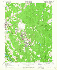
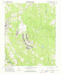
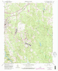
Editions of this 1966 Blackstone East Map
5 editions found
Other maps of this area

1891 · Farmville
USGS Topo · 1:125,000

1893 · Farmville
USGS Topo · 1:125,000

1897 · Amelia
USGS Topo · 1:125,000

1918 · Lawrenceville
USGS Topo · 1:62,500

1920 · Lawrenceville
USGS Topo · 1:48,000

1921 · Lawrenceville
USGS Topo · 1:62,500

1942 · Lawrenceville
USGS Topo · 1:62,500

1943 · Richmond
USGS Topo · 1:250,000

1947 · Roanoke
USGS Topo · 1:250,000

1949 · Richmond
USGS Topo · 1:250,000