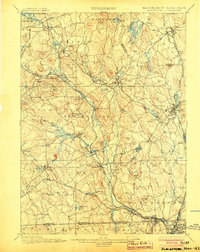
1900 Map of Blackstone
USGS Topo · Published 1904About this map
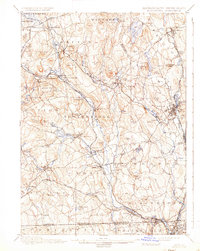
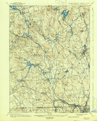
Blackstone River valley industrialization and village growth define this 1886 survey, updated for the dawn of the new century. The landscape is a complex network of mill towns and rail junctions, where the Providence and Worcester R. R. and the New York New Haven and Hartford R. R. converge to move goods through the Blackstone valley. Significant water power sites are visible along the Mumford River and at the confluence in Uxbridge. Beyond the industrial corridors, the terrain transitions into the high ridges of Tasseltop and the unique geological formation at Purgatory Chasm. This map captures the region at the peak of its rail-and-river economy, showing the established hierarchy of manufacturing centers like Whitinsville, Millville, and Northbridge before the twentieth-century shifts in textile production altered the character of these Worcester County communities.
Find a feature on this map
115 named features on this map. Tap any name to fly to it.
Don’t see what you’re looking for? This feature index may not catch every label — zoom into the map to look around manually.
Map Details
Editions of this 1900 Blackstone Map
7 editions found

Other maps of this area

1885 · Worcester
USGS Topo · 1:62,500

1886 · Worcester
USGS Topo · 1:62,500

1886 · Blackstone
USGS Topo · 1:62,500

1886 · Framingham
USGS Topo · 1:62,500

1887 · Franklin
USGS Topo · 1:62,500

1887 · Providence
USGS Topo · 1:62,500

1887 · Marlboro
USGS Topo · 1:62,500

1889 · Providence
USGS Topo · 1:62,500

1889 · Marlboro
USGS Topo · 1:62,500

1889 · Blackstone
USGS Topo · 1:62,500