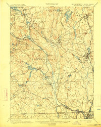
1900 Map of Blackstone
USGS Topo · Published 1914About this map
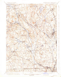
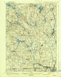
The Blackstone River valley serves as the industrial spine of this region at the turn of the century, winding through a corridor of mill towns and rail junctions. The New York New Haven and Hartford R. R. and the Providence and Worcester R. R. follow the water’s edge, connecting established centers like Whitinsville, Uxbridge, and Millbury Junc.. This landscape is defined by the dense concentration of village settlements along the rivers, contrasted with the high, named hills of the surrounding countryside such as George Hill and Keith Hill.
Find a feature on this map
115 named features on this map. Tap any name to fly to it.
Don’t see what you’re looking for? This feature index may not catch every label — zoom into the map to look around manually.
Map Details
Editions of this 1900 Blackstone Map
7 editions found

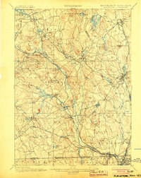
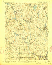
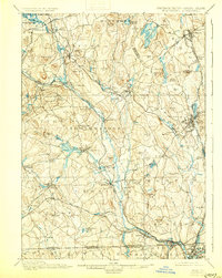
Other maps of this area

1885 · Worcester
USGS Topo · 1:62,500

1886 · Worcester
USGS Topo · 1:62,500

1886 · Blackstone
USGS Topo · 1:62,500

1886 · Framingham
USGS Topo · 1:62,500

1887 · Franklin
USGS Topo · 1:62,500

1887 · Providence
USGS Topo · 1:62,500

1887 · Marlboro
USGS Topo · 1:62,500

1889 · Providence
USGS Topo · 1:62,500

1889 · Marlboro
USGS Topo · 1:62,500

1889 · Blackstone
USGS Topo · 1:62,500