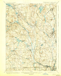
1900 Map of Blackstone
USGS Topo · Published 1930About this map
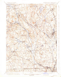
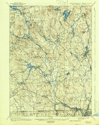
The Blackstone River corridor serves as the industrial and transit backbone of this Massachusetts and Rhode Island borderlands survey. Extensive rail networks, including the Boston & Albany R. R. and the New York New Haven and Hartford R. R., connect a dense string of mill settlements such as Whitinsville, Fisherville, and Saundersville. The landscape is defined by its water power and geologic curiosities, notably the dramatic fissure at Purgatory Chasm near the settlement of Purgatory. To the north, Lake Quinsigamond and several large reservoirs like Whitehall Pond indicate a highly managed hydraulic system supporting the region's manufacturing growth. From the busy yards at Millbury Junc. to the southern border village of Blackstone, this map documents the peak of the valley's late-industrial rail and water-powered economy.
Find a feature on this map
120 named features on this map. Tap any name to fly to it.
Don’t see what you’re looking for? This feature index may not catch every label — zoom into the map to look around manually.
Map Details
Editions of this 1900 Blackstone Map
7 editions found

Other maps of this area

1885 · Worcester
USGS Topo · 1:62,500

1886 · Worcester
USGS Topo · 1:62,500

1886 · Blackstone
USGS Topo · 1:62,500

1886 · Framingham
USGS Topo · 1:62,500

1887 · Franklin
USGS Topo · 1:62,500

1887 · Providence
USGS Topo · 1:62,500

1887 · Marlboro
USGS Topo · 1:62,500

1889 · Providence
USGS Topo · 1:62,500

1889 · Marlboro
USGS Topo · 1:62,500

1889 · Blackstone
USGS Topo · 1:62,500