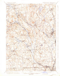
1900 Map of Blackstone
USGS Topo · Published 1937About this map
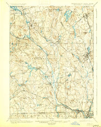
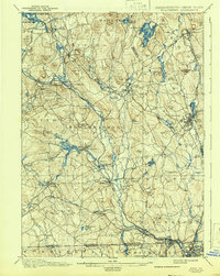
The Blackstone River valley dominates this late 19th-century survey, revealing a landscape defined by industrial water power and an intricate rail network. Villages like Whitinsville, Uxbridge, and Blackstone are shown at their manufacturing peak, linked by the Providence and Worcester R. R. and the New York New Haven and Hartford R. R.. The map captures the dense cluster of mill settlements such as Farnumsville, Fisherville, and Saundersville, where the river's descent provided the necessary energy for early American textile production.
Find a feature on this map
114 named features on this map. Tap any name to fly to it.
Don’t see what you’re looking for? This feature index may not catch every label — zoom into the map to look around manually.
Map Details
Editions of this 1900 Blackstone Map
7 editions found

Other maps of this area

1885 · Worcester
USGS Topo · 1:62,500

1886 · Worcester
USGS Topo · 1:62,500

1886 · Blackstone
USGS Topo · 1:62,500

1886 · Framingham
USGS Topo · 1:62,500

1887 · Franklin
USGS Topo · 1:62,500

1887 · Providence
USGS Topo · 1:62,500

1887 · Marlboro
USGS Topo · 1:62,500

1889 · Providence
USGS Topo · 1:62,500

1889 · Marlboro
USGS Topo · 1:62,500

1889 · Blackstone
USGS Topo · 1:62,500