
1900 Map of Blackstone
USGS Topo · Published 1900About this map
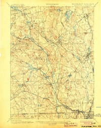
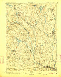
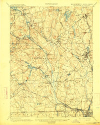
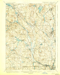
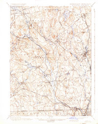
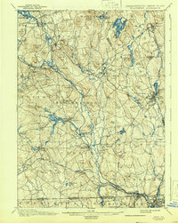
The Blackstone River serves as the industrial spine of this region, its waters driving the many mill villages that define the landscape at the turn of the century. Settlements like Whitinsville, Fisherville, and Saundersville are shown at a high point of their development, situated along the river and the vital Providence and Worcester R. R. corridor. The complexity of the rail network is evident, with the New York New Haven and Hartford R. R. intersecting the terrain to connect industrial hubs such as Uxbridge and Blackstone. Beyond the factory floors, the topography is punctuated by numerous family-named landmarks like Keith Hill and George Hill, while the geological curiosity of Purgatory Chasm stands out in Sutton. The map provides a detailed view of the Blackstone Valley's transition into an integrated manufacturing and transportation corridor, reaching south across the state line into North Smithfield, Rhode Island.
Find a feature on this map
121 named features on this map. Tap any name to fly to it.
Don’t see what you’re looking for? This feature index may not catch every label — zoom into the map to look around manually.
Map Details
Editions of this 1900 Blackstone Map
7 editions found
Other maps of this area

1885 · Worcester
USGS Topo · 1:62,500

1886 · Worcester
USGS Topo · 1:62,500

1886 · Blackstone
USGS Topo · 1:62,500

1886 · Framingham
USGS Topo · 1:62,500

1887 · Franklin
USGS Topo · 1:62,500

1887 · Providence
USGS Topo · 1:62,500

1887 · Marlboro
USGS Topo · 1:62,500

1889 · Providence
USGS Topo · 1:62,500

1889 · Marlboro
USGS Topo · 1:62,500

1889 · Blackstone
USGS Topo · 1:62,500