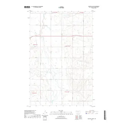
2017 Map of Blacktail Lake SE
USGS Topo · Published 2017About this map
The Little Muddy River winds through this rural section of Williams County, joined by its E Fork Little Muddy River and several smaller tributaries. This prairie landscape is defined by the Public Land Survey System, with a rigid grid of gravel roads following section lines across several townships including t156n r100w. The hydrologic network of Otter Tail Cr and Cow Cr feeds into the main river channel, shaping the low-lying drainage basins that cut through the high plains. While modern roads like Co Rd 8 provide contemporary access, the map preserves the foundational 19th-century land divisions that continue to dictate the placement of farmsteads and transport corridors in western North Dakota.
Find a feature on this map
24 named features on this map. Tap any name to fly to it.
Don’t see what you’re looking for? This feature index may not catch every label — zoom into the map to look around manually.
Map Details
Editions of this 2017 Blacktail Lake SE Map
This is the sole edition of this map. No revisions or reprints were ever made.
Other maps of this area

1911 · Ray
USGS Topo · 1:125,000

1953 · Williston
USGS Topo · 1:250,000

1957 · Williston
USGS Topo · 1:250,000

1959 · Marmon SE
USGS Topo · 1:24,000

1959 · Williston West
USGS Topo · 1:24,000

1959 · Williston East
USGS Topo · 1:24,000

1974 · Blacktail Lake
USGS Topo · 1:24,000

1974 · Otter Tail Creek
USGS Topo · 1:24,000

1974 · Twin Lakes
USGS Topo · 1:24,000

1978 · Epping NW
USGS Topo · 1:24,000