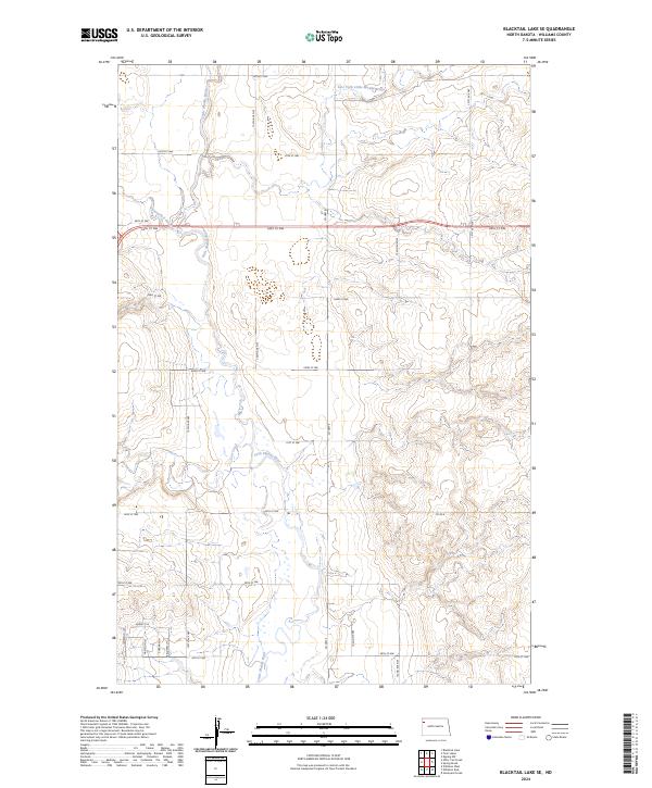
2024 Map of Blacktail Lake SE
USGS Topo · Published 2024About this map
The Little Muddy River meanders through this portion of Williams County, creating a valley defined by significant hydrographic activity. This landscape is shaped by the confluence of several watercourses, including the East Fork Little Muddy River, Otter Tail Creek, and Cow Creek. These drainages dictate the orientation of the rural road network, which is primarily organized along section lines. Modern infrastructure is represented by a grid of numbered township roads such as 64th St NW and 134th Ave NW, alongside county thoroughfares like Co Hwy 9. In the southwestern corner, more localized residential or access lanes appear, including Bassett Ln and Sherman Ln, signaling areas of denser development or specialized land use within the broader agricultural and riparian terrain.
Find a feature on this map
31 named features on this map. Tap any name to fly to it.
Don’t see what you’re looking for? This feature index may not catch every label — zoom into the map to look around manually.
Map Details
Editions of this 2024 Blacktail Lake SE Map
This is the sole edition of this map. No revisions or reprints were ever made.
Other maps of this area

1911 · Ray
USGS Topo · 1:125,000

1953 · Williston
USGS Topo · 1:250,000

1957 · Williston
USGS Topo · 1:250,000

1959 · Marmon SE
USGS Topo · 1:24,000

1959 · Williston West
USGS Topo · 1:24,000

1959 · Williston East
USGS Topo · 1:24,000

1974 · Blacktail Lake
USGS Topo · 1:24,000

1974 · Otter Tail Creek
USGS Topo · 1:24,000

1974 · Twin Lakes
USGS Topo · 1:24,000

1978 · Epping NW
USGS Topo · 1:24,000