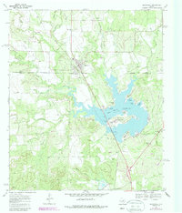
1969 Map of Blackwell
USGS Topo · Published 1987About this map
Blackwell serves as the primary hub of this West Texas landscape, positioned at the junction of Nolan and Coke counties. The area's mid-century character is defined by the massive Oak Creek Reservoir, which dominates the central topography with complex shorelines like Humble Neck and Gulf Peninsula. Water management and energy production are central themes here, evidenced by the presence of Pumping Stations, a Powerplant, and a large Aqueduct system. Near the southern edge of the quadrangle, the historical footprint of Ft Chadbourne remains a significant landmark along Highway 277, complemented by the Ft Chadbourne Cem. The map also documents the transition of transportation infrastructure, marking a Dismantled railroad line that once served the community, while the local economy is punctuated by numerous Oil Wells and Gravel Pits scattered across the ranch land and creek drainages like Middle Kickapoo Creek.
Find a feature on this map
44 named features on this map. Tap any name to fly to it.
Don’t see what you’re looking for? This feature index may not catch every label — zoom into the map to look around manually.
Map Details
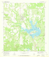
Editions of this 1969 Blackwell Map
2 editions found
Other maps of this area

1891 · Hayrick
USGS Topo · 1:125,000

1893 · Sweetwater
USGS Topo · 1:125,000

1894 · Hayrick
USGS Topo · 1:125,000

1921 · Bronte
USGS Topo · 1:31,680

1954 · Big Spring
USGS Topo · 1:250,000

1954 · San Angelo
USGS Topo · 1:250,000

1958 · San Angelo
USGS Topo · 1:250,000

1958 · Big Spring
USGS Topo · 1:250,000
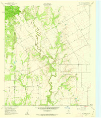
1961 · Hog Mountain
USGS Topo · 1:24,000
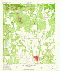
1961 · Bronte
USGS Topo · 1:24,000