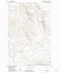
1958 Map of Blanchard Ranch
USGS Topo · Published 1994About this map
Blanchard Ranch and the surrounding high plains of Valley County, Montana, appear here during the late 1950s as part of a focused study for the development of the Missouri River Basin. The landscape is defined by an extensive network of small-scale water management, including the Retention Levees Experimental Area and numerous local catchments like Archambeault Retention Res, Jack Rabbit Reservoir, and Newton Reservoir.
Find a feature on this map
18 named features on this map. Tap any name to fly to it.
Don’t see what you’re looking for? This feature index may not catch every label — zoom into the map to look around manually.
Map Details
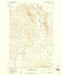
Editions of this 1958 Blanchard Ranch Map
2 editions found
Other maps of this area

1943 · Glasgow
USGS Topo · 1:125,000

1954 · Jordan
USGS Topo · 1:250,000

1954 · Glasgow
USGS Topo · 1:250,000

1956 · Jordan
USGS Topo · 1:250,000

1957 · Glasgow
USGS Topo · 1:250,000

1958 · Glasgow
USGS Topo · 1:250,000

1958 · Jordan
USGS Topo · 1:250,000

1958 · Engstrom Ranch
USGS Topo · 1:24,000

1958 · Miller Coulee
USGS Topo · 1:62,500

1958 · Collins Ranch
USGS Topo · 1:62,500