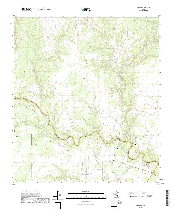
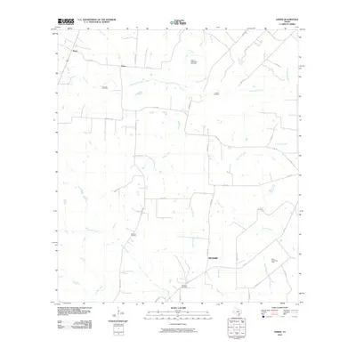
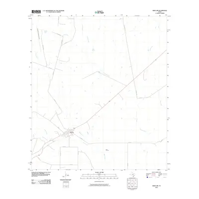
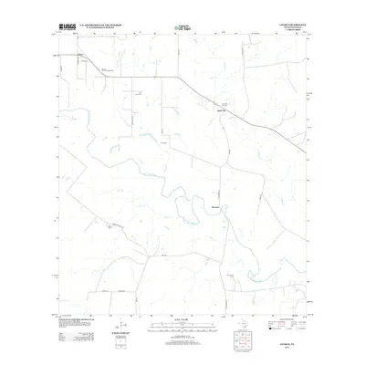
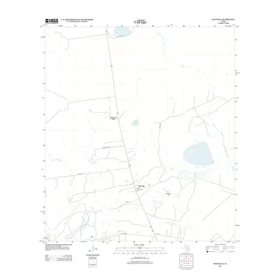
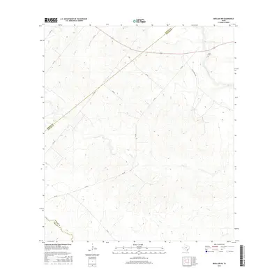
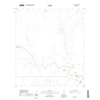
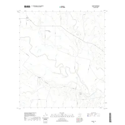
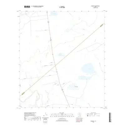
2022 Map of Blanconia
USGS Topo · Published 2022About this map
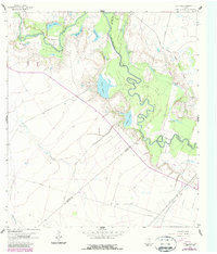
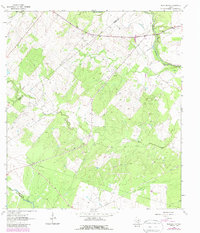
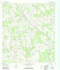
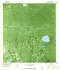
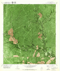
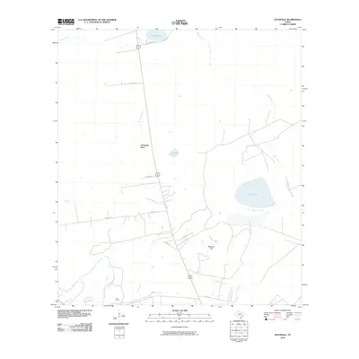
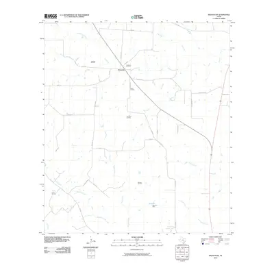
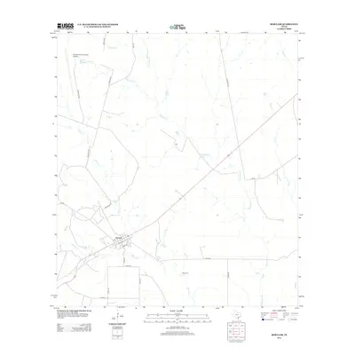
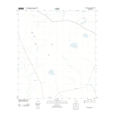
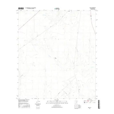
Blanconia sits as the central settlement in this coastal plain landscape where the borders of Bee, Goliad, and Refugio counties meet. The community is anchored by the Blanconia Baptist Church Cem, serving as a vital landmark for local genealogical research. The geography is defined by a dense network of meandering waterways, including the prominent Blanco Cr which flows eastward, joined by tributaries such as Arroyocita Cr and Murphy Cr. This 2022 survey illustrates a rural Texas environment where historical land divisions are preserved through named routes like Mcguill RD and the Mcguill Cemetery. The drainage patterns of Salt Cr and Sarco Cr in the northeast reflect the natural irrigation and low-lying topography characteristic of the region north of the Texas coast.
Find a feature on this map
23 named features on this map. Tap any name to fly to it.
Don’t see what you’re looking for? This feature index may not catch every label — zoom into the map to look around manually.
Map Details
Editions of this 2022 Blanconia Map
This is the sole edition of this map. No revisions or reprints were ever made.
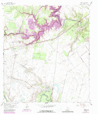
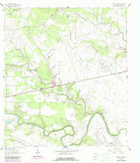
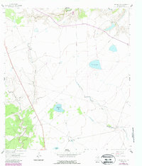
Historical Maps of Blanconia Through Time
84 maps found
1962 Fannin
Goliad County, TX
1962 Hensley Lake
Goliad County, TX
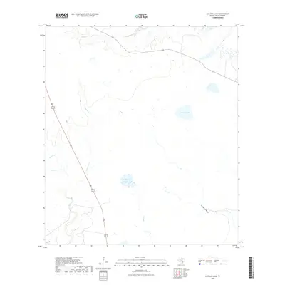
1962 Live Oak Lake
Goliad County, TX
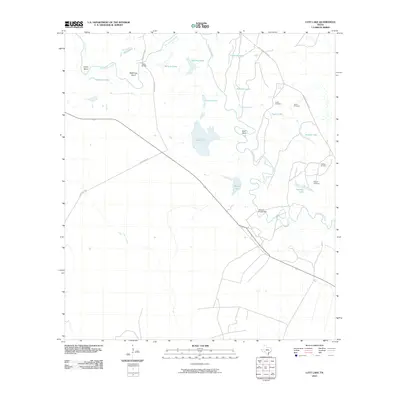
1962 Lott Lake
Goliad County, TX
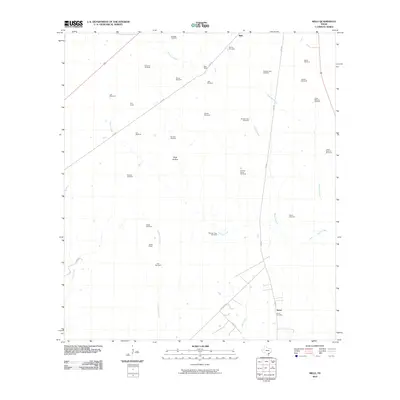
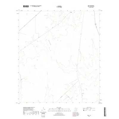
1962 Melo
Goliad County, TX
1963 Ander
Goliad County, TX
1963 Berclair
Goliad County, TX
1963 Berclair NW
Goliad County, TX
1963 Charco
Goliad County, TX
1963 Lazy F Ranch
Goliad County, TX
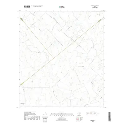
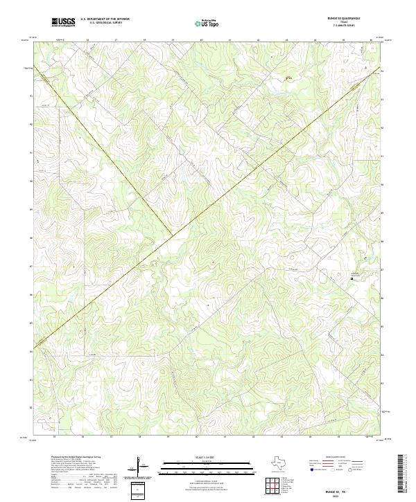
1963 Runge SE
Goliad County, TX
1963 Weesatche
Goliad County, TX
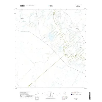
1978 Ryanville
Goliad County, TX
1979 Blanconia
Goliad County, TX
2010 Ander
Goliad County, TX
2010 Berclair
Goliad County, TX
2010 Berclair NW
Goliad County, TX
2010 Blanconia
Goliad County, TX
2010 Charco
Goliad County, TX
2010 Fannin
Goliad County, TX
2010 Hensley Lake
Goliad County, TX
2010 Lazy F Ranch
Goliad County, TX
2010 Live Oak Lake
Goliad County, TX
2010 Lott Lake
Goliad County, TX
2010 Melo
Goliad County, TX
2010 Runge SE
Goliad County, TX
2010 Ryanville
Goliad County, TX
2010 Weesatche
Goliad County, TX

2013 Ander
Goliad County, TX
2013 Berclair
Goliad County, TX
2013 Berclair NW
Goliad County, TX
2013 Blanconia
Goliad County, TX
2013 Charco
Goliad County, TX
2013 Fannin
Goliad County, TX
2013 Hensley Lake
Goliad County, TX
2013 Lazy F Ranch
Goliad County, TX
2013 Live Oak Lake
Goliad County, TX
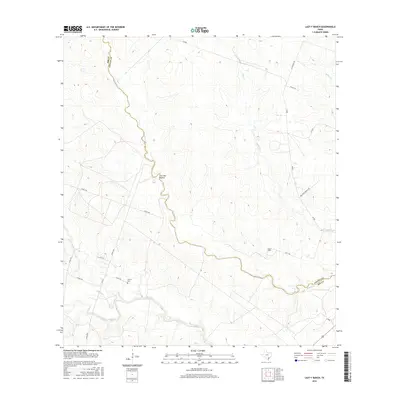
2013 Lott Lake
Goliad County, TX
2013 Melo
Goliad County, TX
2013 Runge SE
Goliad County, TX
2013 Ryanville
Goliad County, TX
2013 Weesatche
Goliad County, TX
2016 Ander
Goliad County, TX
2016 Berclair
Goliad County, TX
2016 Berclair NW
Goliad County, TX
2016 Blanconia
Goliad County, TX
2016 Charco
Goliad County, TX
2016 Fannin
Goliad County, TX
2016 Hensley Lake
Goliad County, TX
2016 Lazy F Ranch
Goliad County, TX
2016 Live Oak Lake
Goliad County, TX
2016 Lott Lake
Goliad County, TX
2016 Melo
Goliad County, TX
2016 Runge SE
Goliad County, TX
2016 Ryanville
Goliad County, TX
2016 Weesatche
Goliad County, TX
2019 Ander
Goliad County, TX
2019 Berclair
Goliad County, TX
2019 Berclair NW
Goliad County, TX
2019 Blanconia
Goliad County, TX
2019 Charco
Goliad County, TX
2019 Fannin
Goliad County, TX
2019 Hensley Lake
Goliad County, TX
2019 Lazy F Ranch
Goliad County, TX
2019 Live Oak Lake
Goliad County, TX
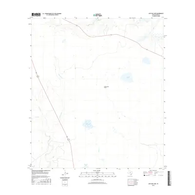
2019 Lott Lake
Goliad County, TX
2019 Melo
Goliad County, TX
2019 Runge SE
Goliad County, TX
2019 Ryanville
Goliad County, TX
2019 Weesatche
Goliad County, TX
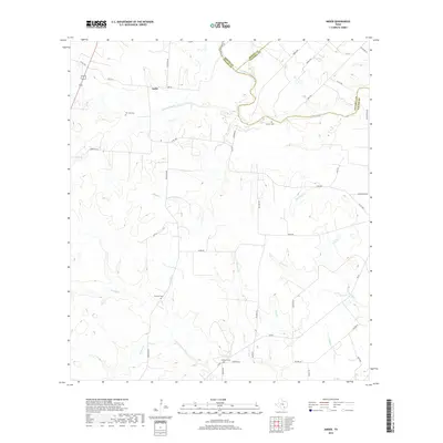
2022 Ander
Goliad County, TX
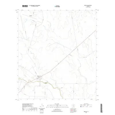
2022 Berclair
Goliad County, TX
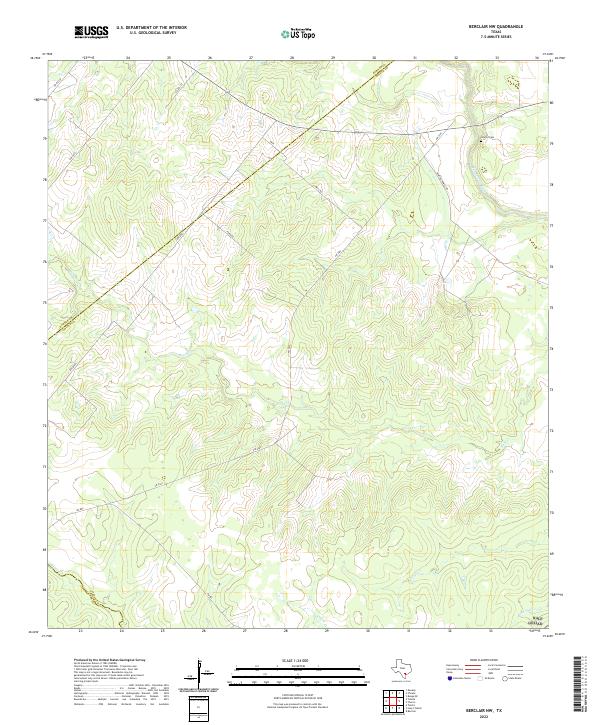
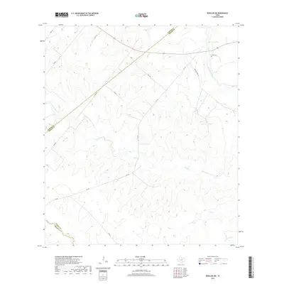
2022 Berclair NW
Goliad County, TX
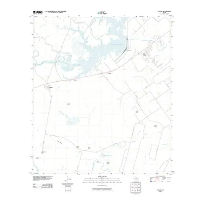
2022 Blanconia
Goliad County, TX
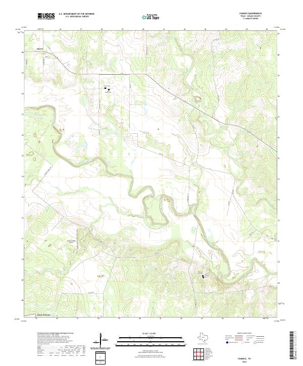
2022 Charco
Goliad County, TX
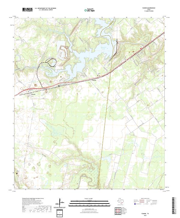
2022 Fannin
Goliad County, TX
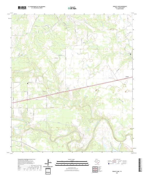
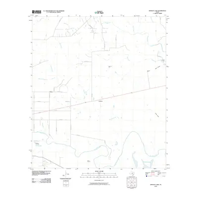
2022 Hensley Lake
Goliad County, TX
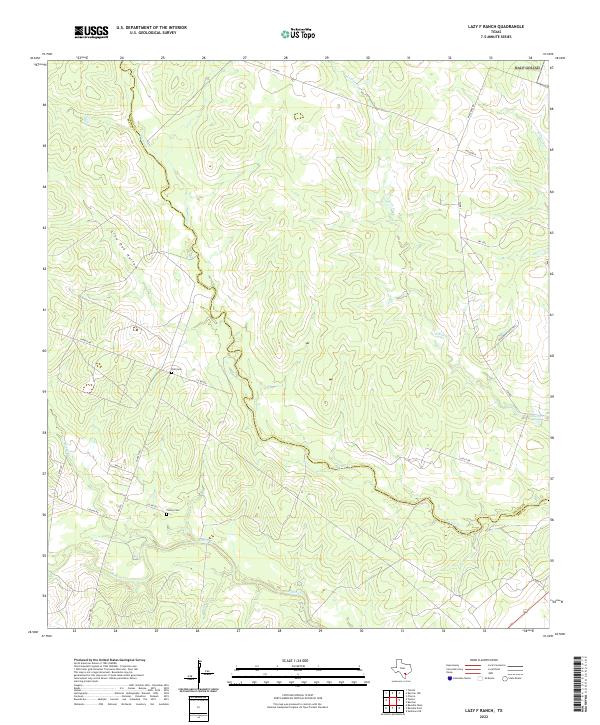
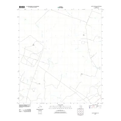
2022 Lazy F Ranch
Goliad County, TX
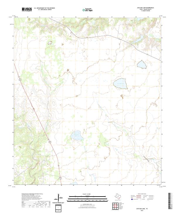
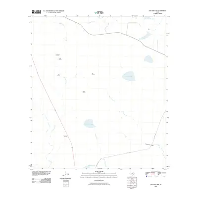
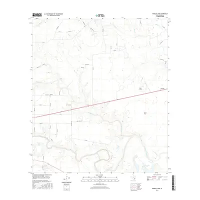
2022 Live Oak Lake
Goliad County, TX
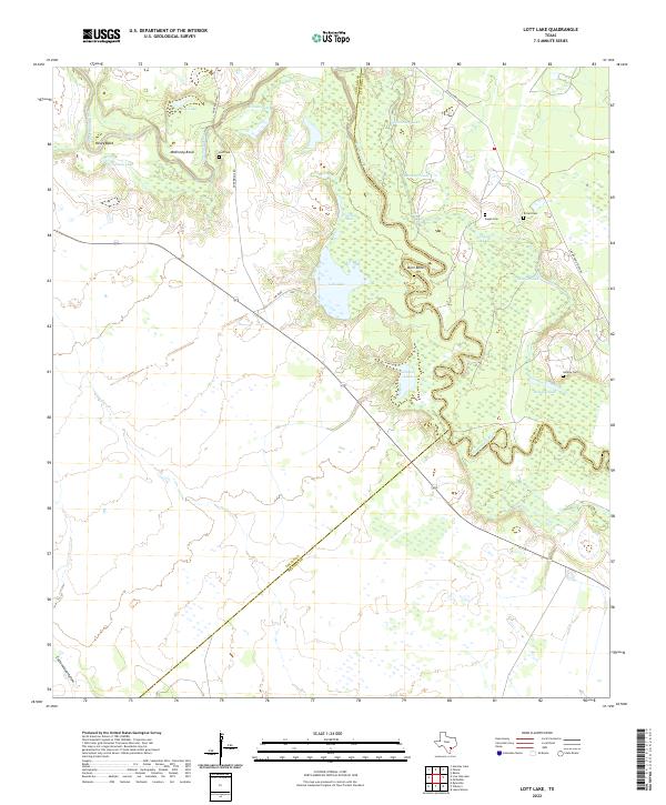
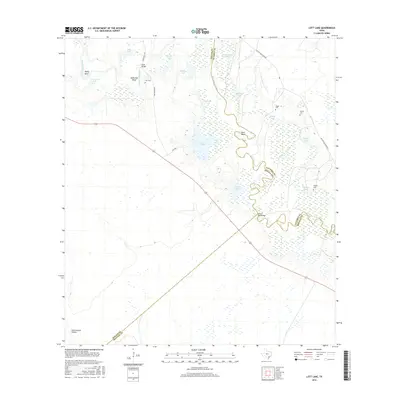
2022 Lott Lake
Goliad County, TX
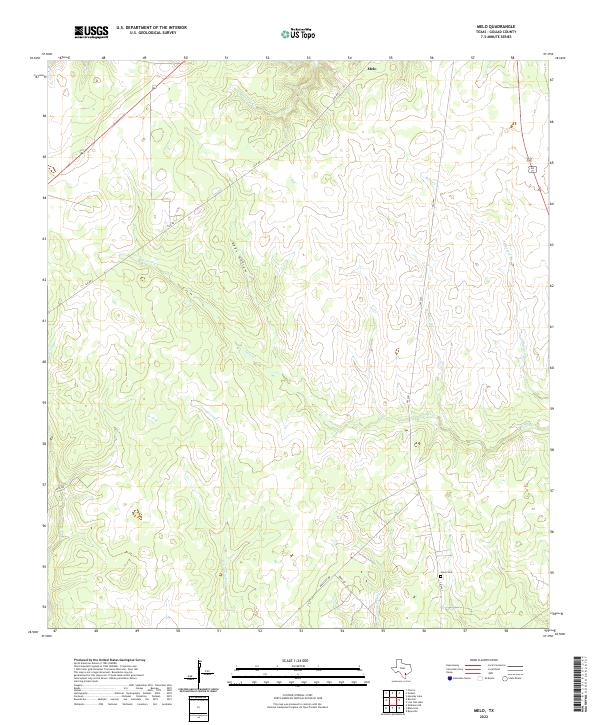
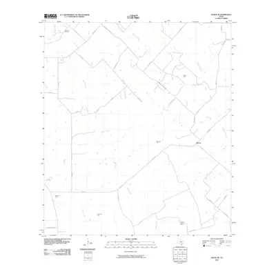
2022 Melo
Goliad County, TX
2022 Runge SE
Goliad County, TX
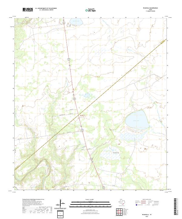
2022 Ryanville
Goliad County, TX
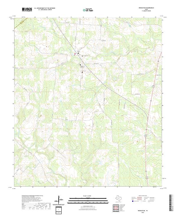
2022 Weesatche
Goliad County, TX