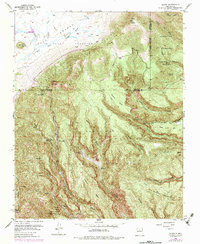
1953 Map of Bland
USGS Topo · Published 1984About this map
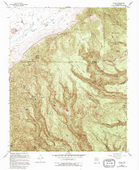
Bland (Ghost Town) sits at the heart of this landscape, reflecting the boom-and-bust mining history of the San Miguel Mountains. The map details the Cochiti Mining District, where operations like the Washington Group and the Valle Grande Pumice Mine were once active. This region in the Santa Fe National Forest is defined by a complex network of canyons, including Cochiti Canyon and Bland Canyon, which shaped the early access routes and settlement patterns for homesteads such as the Bruce Place and Evans-Griffin Place. The transition from the high peaks of Rabbit Mountain to the private boundaries of Baca Location No 1 illustrates the varied land use between timber, mining, and ranching in the mid-20th century. High-elevation access is provided by the Sawyer Road and St Peters Dome Road, crossing between the Sandoval and Los Alamos county borders.
Find a feature on this map
54 named features on this map. Tap any name to fly to it.
Don’t see what you’re looking for? This feature index may not catch every label — zoom into the map to look around manually.
Map Details
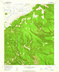
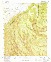
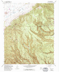
Editions of this 1953 Bland Map
6 editions found

Other maps of this area

1890 · Jemes
USGS Topo · 1:125,000

1892 · Jemes
USGS Topo · 1:125,000

1892 · Santa Clara
USGS Topo · 1:125,000

1937 · Jemez Springs
USGS Topo · 1:48,000

1943 · Jemez
USGS Topo · 1:62,500

1944 · Jemez Springs
USGS Topo · 1:62,500

1952 · Valle Toledo
USGS Topo · 1:24,000

1952 · Jemez Springs
USGS Topo · 1:62,500

1952 · Frijoles
USGS Topo · 1:24,000

1952 · Guaje Mountain
USGS Topo · 1:24,000