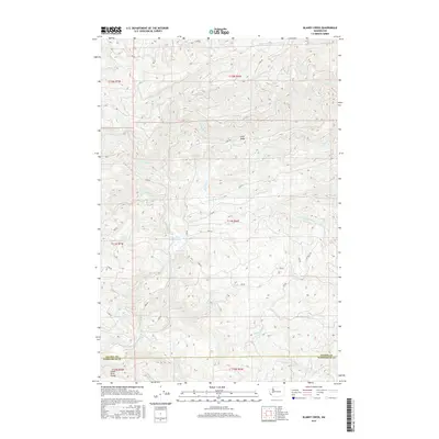
2017 Map of Blaney Creek
USGS Topo · Published 2017About this map
Grays River Salmon Pond sits at the heart of this landscape where the Grays River and its various tributaries converge. The terrain is defined by the significant hydrological split at the Grays River Divide, separating the southern flow from the waters of the Willapa River in the north. This high-altitude drainage basin is heavily marked by a dense network of forest service and logging roads, such as C Line Rd and F Line Rd, which wind around prominent landforms like Long Ridge. The map details the intricate path of the E Fork Grays River and S Fork Grays River, revealing how the timber industry's infrastructure has integrated with the natural creek systems like Blaney Creek and Mitchell Cr within both Pacific and Wahkiakum counties.
Find a feature on this map
41 named features on this map. Tap any name to fly to it.
Don’t see what you’re looking for? This feature index may not catch every label — zoom into the map to look around manually.
Map Details
Editions of this 2017 Blaney Creek Map
This is the sole edition of this map. No revisions or reprints were ever made.
Other maps of this area

1940 · Brookfield
USGS Topo · 1:62,500

1941 · Walville
USGS Topo · 1:62,500

1941 · Skamokawa
USGS Topo · 1:62,500

1953 · Hoquiam
USGS Topo · 1:250,000

1953 · Skamokawa
USGS Topo · 1:62,500

1953 · Pe Ell
USGS Topo · 1:62,500

1955 · Grays River
USGS Topo · 1:62,500

1955 · Raymond
USGS Topo · 1:62,500

1957 · Hoquiam
USGS Topo · 1:250,000

1958 · Hoquiam
USGS Topo · 1:250,000