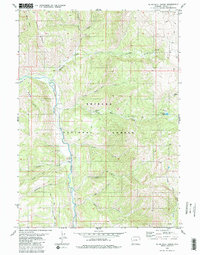
1980 Map of Blind Bull Creek
USGS Topo · Published 1980About this map
Greys River winds through this 1980 survey of the western Wyoming high country, serving as a primary corridor for early ranching and resource extraction. The landscape is defined by the sharp convergence of Bridger National Forest and Teton National Forest, where the topography transitions from the steep Middle Ridge down to the distinct river bend known as The Elbow. Remote outposts and industrial sites are scattered throughout the drainages, including the Box Y Ranch and a nearby Guard Station along the river banks. Economic activity is anchored by the Blind Bull Mine in the east and the Vail Mine to the north, connected by a network of primitive routes. The map records numerous named watercourses like Deadman Creek and Moffat Creek, alongside landmarks such as Blind Bull Lake, illustrating the mid-century intersection of forest management, livestock ranching, and high-altitude mining.
Find a feature on this map
30 named features on this map. Tap any name to fly to it.
Don’t see what you’re looking for? This feature index may not catch every label — zoom into the map to look around manually.
Map Details
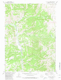
Editions of this 1980 Blind Bull Creek Map
2 editions found
Other maps of this area

1921 · Afton
USGS Topo · 1:125,000

1931 · Jackson
USGS Topo · 1:125,000

1935 · Jackson
USGS Topo · 1:125,000

1955 · Driggs
USGS Topo · 1:250,000

1955 · Preston
USGS Topo · 1:250,000

1958 · Driggs
USGS Topo · 1:250,000

1958 · Preston
USGS Topo · 1:250,000

1962 · Driggs
USGS Topo · 1:250,000

1962 · Preston
USGS Topo · 1:250,000

1965 · Pickle Pass
USGS Topo · 1:24,000