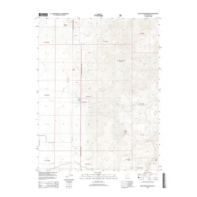
2014 Map of Blind Spring Mountain
USGS Topo · Published 2014About this map
The high plateau country of the Dixie National Forest dominates this topographic view, where the headwaters of the Sevier River begin their journey through the Utah landscape. The geography is defined by deep incisions like Smith Canyon and Marshall Canyon, which drain into the complex drainage system of Sanford Cr. The terrain rises toward the prominent Blind Spring Mtn, a significant landmark overlooking Blind Spring and the Sand Wash Bench to the south.
Find a feature on this map
30 named features on this map. Tap any name to fly to it.
Don’t see what you’re looking for? This feature index may not catch every label — zoom into the map to look around manually.
Map Details
Editions of this 2014 Blind Spring Mountain Map
This is the sole edition of this map. No revisions or reprints were ever made.
Other maps of this area

1885 · Beaver
USGS Topo · 1:250,000

1886 · Kanab
USGS Topo · 1:250,000

1953 · Richfield
USGS Topo · 1:250,000

1953 · Cedar City
USGS Topo · 1:250,000

1958 · Richfield
USGS Topo · 1:250,000

1958 · Cedar City
USGS Topo · 1:250,000

1962 · Cedar City
USGS Topo · 1:250,000

1966 · Bull Rush Peak
USGS Topo · 1:24,000

1966 · Fremont Pass
USGS Topo · 1:24,000

1966 · Panguitch NW
USGS Topo · 1:24,000