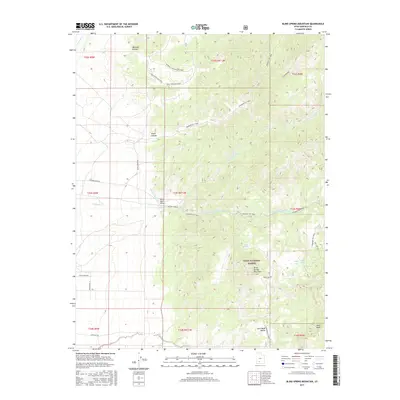
2017 Map of Blind Spring Mountain
USGS Topo · Published 2017About this map
Dixie National Forest dominates this section of Garfield County, where high-elevation terrain is defined by the prominent peak of Blind Spring Mountain. The landscape is etched by a complex drainage system including Sanford Creek and its various branches, which flow through deep incisions like Marshall Canyon and Smith Canyon. A small aviation outpost, the Pfeiler Ranch Airport, provides a rare point of modern infrastructure amidst the backcountry, situated near the intersection of several forest roads.
Find a feature on this map
34 named features on this map. Tap any name to fly to it.
Don’t see what you’re looking for? This feature index may not catch every label — zoom into the map to look around manually.
Map Details
Editions of this 2017 Blind Spring Mountain Map
This is the sole edition of this map. No revisions or reprints were ever made.
Other maps of this area

1885 · Beaver
USGS Topo · 1:250,000

1886 · Kanab
USGS Topo · 1:250,000

1953 · Richfield
USGS Topo · 1:250,000

1953 · Cedar City
USGS Topo · 1:250,000

1958 · Richfield
USGS Topo · 1:250,000

1958 · Cedar City
USGS Topo · 1:250,000

1962 · Cedar City
USGS Topo · 1:250,000

1966 · Bull Rush Peak
USGS Topo · 1:24,000

1966 · Fremont Pass
USGS Topo · 1:24,000

1966 · Panguitch NW
USGS Topo · 1:24,000