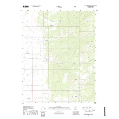
2020 Map of Blind Spring Mountain
USGS Topo · Published 2020About this map
Dixie National Forest dominates the eastern half of this Garfield County landscape, where the terrain rises toward Blind Spring Mtn. This high-elevation environment is defined by its seasonal water sources, including Blind Spring, Cellar Spring, and the Seed Lakes. The drainage system is particularly well-defined by the three-pronged flow of Sanford Cr, with its Left Fork Sanford Cr and Right Fork Sanford Cr carving through the canyons.
Find a feature on this map
23 named features on this map. Tap any name to fly to it.
Don’t see what you’re looking for? This feature index may not catch every label — zoom into the map to look around manually.
Map Details
Editions of this 2020 Blind Spring Mountain Map
This is the sole edition of this map. No revisions or reprints were ever made.
Other maps of this area

1885 · Beaver
USGS Topo · 1:250,000

1886 · Kanab
USGS Topo · 1:250,000

1953 · Richfield
USGS Topo · 1:250,000

1953 · Cedar City
USGS Topo · 1:250,000

1958 · Richfield
USGS Topo · 1:250,000

1958 · Cedar City
USGS Topo · 1:250,000

1962 · Cedar City
USGS Topo · 1:250,000

1966 · Bull Rush Peak
USGS Topo · 1:24,000

1966 · Fremont Pass
USGS Topo · 1:24,000

1966 · Panguitch NW
USGS Topo · 1:24,000