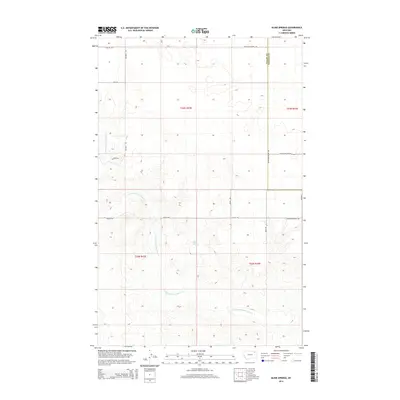
2014 Map of Blink Springs
USGS Topo · Published 2014About this map
Blink Springs and the meandering E Fork Little Porcupine Cr define this section of the northeastern Montana plains. The landscape is a study in the rectilinear precision of the Public Land Survey System, where section lines and county boundaries dictate the placement of local infrastructure. The transition from Valley County into Daniels County is marked by a simple north-south orientation, bisecting a terrain shaped by wide drainage basins and subtle elevation shifts.
Find a feature on this map
18 named features on this map. Tap any name to fly to it.
Don’t see what you’re looking for? This feature index may not catch every label — zoom into the map to look around manually.
Map Details
Editions of this 2014 Blink Springs Map
This is the sole edition of this map. No revisions or reprints were ever made.
Other maps of this area

1910 · Todd Lakes
USGS Topo · 1:62,500

1915 · Todd Lakes
USGS Topo · 1:62,500

1915 · Spring Creek
USGS Topo · 1:62,500

1954 · Wolf Point
USGS Topo · 1:250,000

1954 · Glasgow
USGS Topo · 1:250,000

1957 · Glasgow
USGS Topo · 1:250,000

1958 · Wolf Point
USGS Topo · 1:250,000

1958 · Glasgow
USGS Topo · 1:250,000

1973 · Larslan
USGS Topo · 1:24,000

1973 · Larslan NW
USGS Topo · 1:24,000