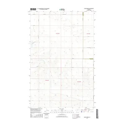
2017 Map of Blink Springs
USGS Topo · Published 2017About this map
Blink Springs and the meandering E Fork Little Porcupine Cr define the water-carved landscape of this northeastern Montana high plains territory. The terrain is structured by a network of sectional roads and boundary lines, including the border between Valley Co and Daniels Co. This 2017 survey reveals the intersection of early ranching infrastructure and modern surveying, where named corridors like E Larslan Rd and Richland-Frazer Rd trace paths through the undulating breaks. The layout of the roads, such as Frazer-Richland Rd and W Pleasant View Rd, suggests a landscape primarily dedicated to large-scale agriculture and grazing, with small features like Blink Springs serving as vital landmarks in an otherwise open expanse of shortgrass prairie.
Find a feature on this map
22 named features on this map. Tap any name to fly to it.
Don’t see what you’re looking for? This feature index may not catch every label — zoom into the map to look around manually.
Map Details
Editions of this 2017 Blink Springs Map
This is the sole edition of this map. No revisions or reprints were ever made.
Other maps of this area

1910 · Todd Lakes
USGS Topo · 1:62,500

1915 · Todd Lakes
USGS Topo · 1:62,500

1915 · Spring Creek
USGS Topo · 1:62,500

1954 · Wolf Point
USGS Topo · 1:250,000

1954 · Glasgow
USGS Topo · 1:250,000

1957 · Glasgow
USGS Topo · 1:250,000

1958 · Wolf Point
USGS Topo · 1:250,000

1958 · Glasgow
USGS Topo · 1:250,000

1973 · Larslan
USGS Topo · 1:24,000

1973 · Larslan NW
USGS Topo · 1:24,000