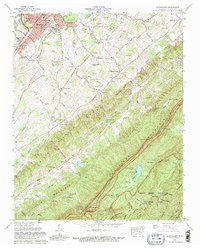
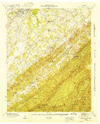
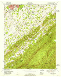
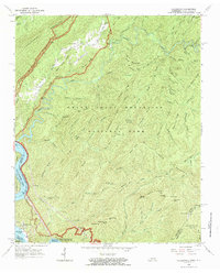
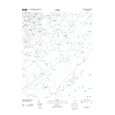
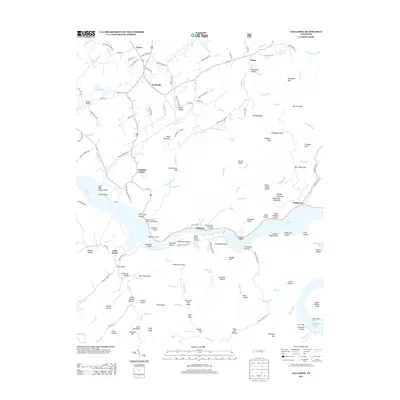
1966 Map of Blockhouse
USGS Topo · Published 1981About this map
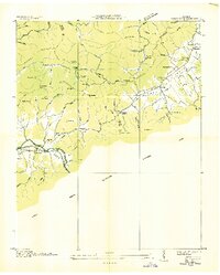
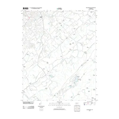
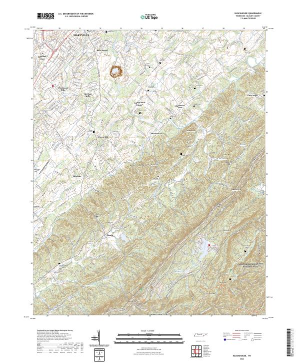
Maryville serves as the gateway to the rising ridges of the Great Smoky Mountains National Park in this mid-1960s study of Blount County. The landscape transitions from the developed neighborhoods of Belle Meade and Highland Acres into the dramatic topography of Chilhowee Mountain. This era captures the early development of Top of the World Estates, a ridge-top community overlooking Lake in the Sky, during the same period the Foothills Parkway was being established across the Flats.
Find a feature on this map
94 named features on this map. Tap any name to fly to it.
Don’t see what you’re looking for? This feature index may not catch every label — zoom into the map to look around manually.
Map Details
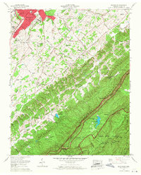
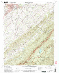
Editions of this 1966 Blockhouse Map
4 editions found
Historical Maps of Maryville Through Time
60 maps found

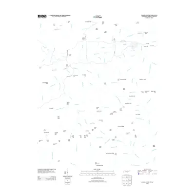
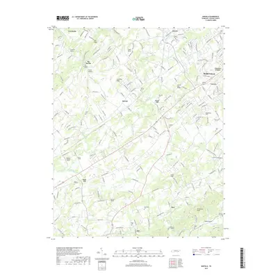
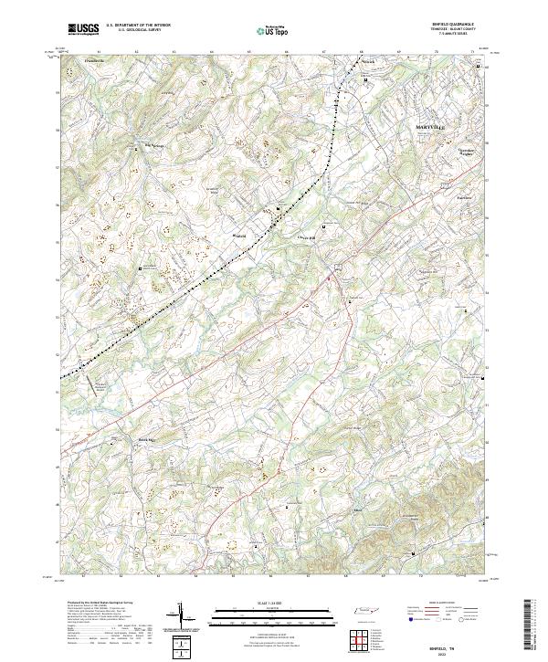
1935 Binfield
Blount County, TN

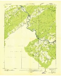
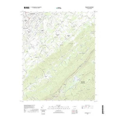
1935 Blockhouse
Blount County, TN

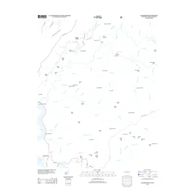
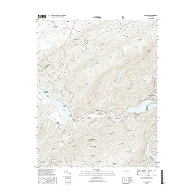
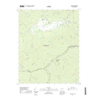
1935 Calderwood
Blount County, TN

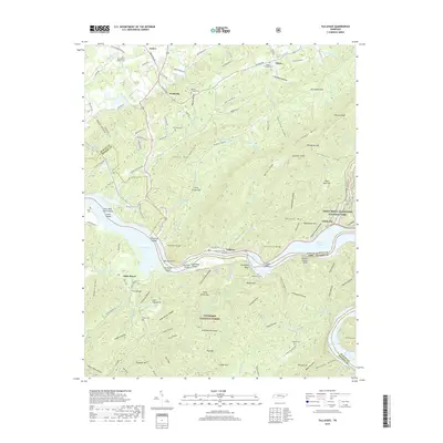
1935 Tallassee
Blount County, TN
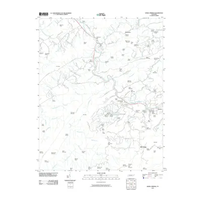
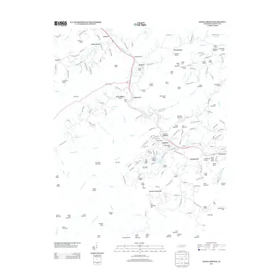
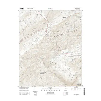
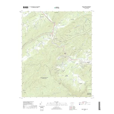
1936 Kinzel Springs
Blount County, TN
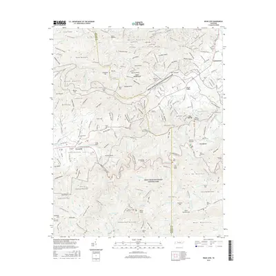
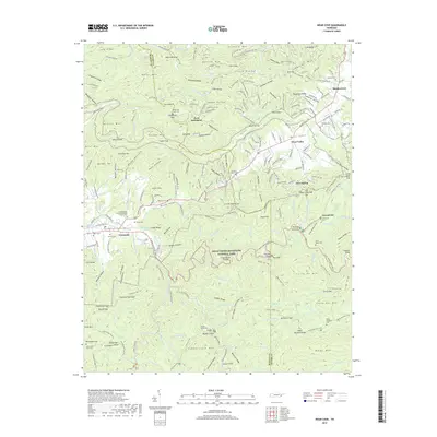
1936 Wear Cove
Blount County, TN
1941 Binfield
Blount County, TN
1941 Kinzel Springs
Blount County, TN
1941 Tallassee
Blount County, TN
1942 Blockhouse
Blount County, TN
1942 Tallassee
Blount County, TN
1942 Wear Cove
Blount County, TN
1952 Binfield
Blount County, TN
1953 Blockhouse
Blount County, TN
1953 Kinzel Springs
Blount County, TN
1953 Wear Cove
Blount County, TN
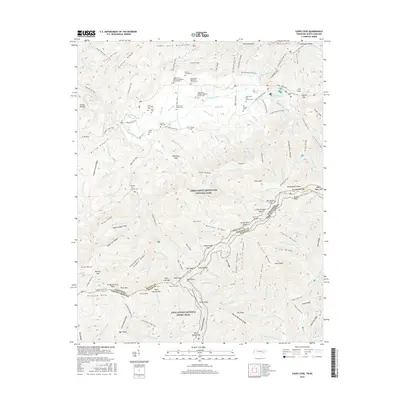
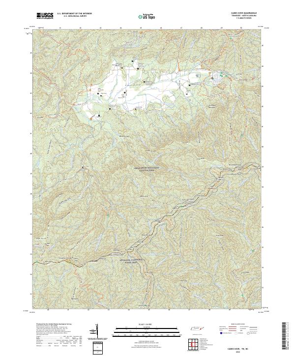
1964 Cades Cove
Blount County, TN
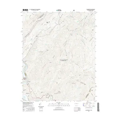
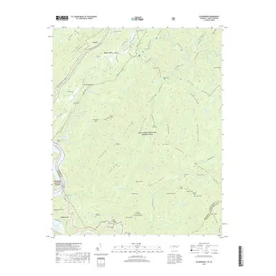
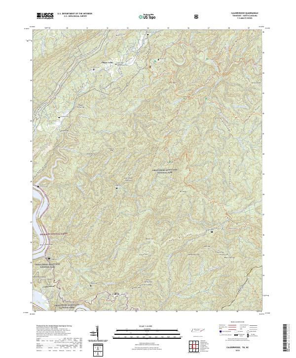
1964 Calderwood
Blount County, TN
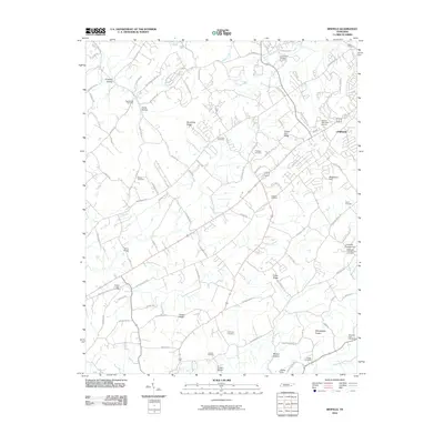
1966 Blockhouse
Blount County, TN
1966 Tallassee
Blount County, TN

2000 Cades Cove
Blount County, TN

2000 Calderwood
Blount County, TN

2000 Thunderhead Mtn
Blount County, TN

2003 Calderwood
Blount County, TN
2003 Tallassee
Blount County, TN
2010 Binfield
Blount County, TN
2010 Blockhouse
Blount County, TN
2010 Cades Cove
Blount County, TN
2010 Kinzel Springs
Blount County, TN
2010 Wear Cove
Blount County, TN
2011 Calderwood
Blount County, TN
2011 Tallassee
Blount County, TN
2013 Binfield
Blount County, TN
2013 Blockhouse
Blount County, TN
2013 Cades Cove
Blount County, TN
2013 Calderwood
Blount County, TN
2013 Kinzel Springs
Blount County, TN
2013 Tallassee
Blount County, TN
2013 Wear Cove
Blount County, TN
2016 Binfield
Blount County, TN
2016 Blockhouse
Blount County, TN
2016 Cades Cove
Blount County, TN
2016 Calderwood
Blount County, TN
2016 Kinzel Springs
Blount County, TN
2016 Tallassee
Blount County, TN
2016 Wear Cove
Blount County, TN
2019 Binfield
Blount County, TN
2019 Blockhouse
Blount County, TN
2019 Cades Cove
Blount County, TN
2019 Calderwood
Blount County, TN
2019 Kinzel Springs
Blount County, TN
2019 Tallassee
Blount County, TN
2019 Wear Cove
Blount County, TN
2022 Binfield
Blount County, TN
2022 Blockhouse
Blount County, TN
2022 Cades Cove
Blount County, TN
2022 Calderwood
Blount County, TN
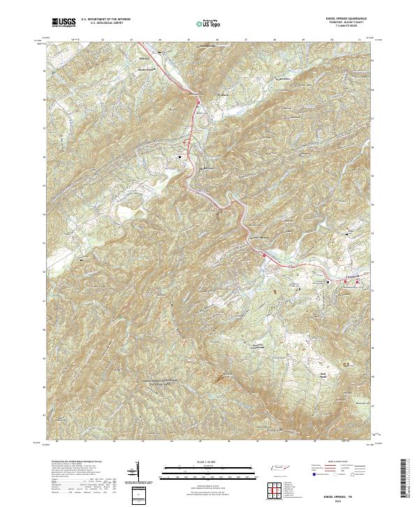
2022 Kinzel Springs
Blount County, TN
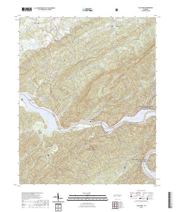
2022 Tallassee
Blount County, TN
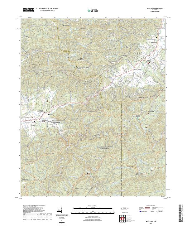
2022 Wear Cove
Blount County, TN