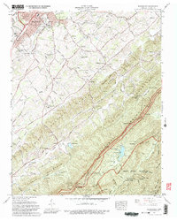
1966 Map of Blockhouse
USGS Topo · Published 1981About this map
Maryville and its southeastern residential developments like Belle Meade and College Park Estates transition into the ridgelines of the southern Appalachians in this mid-1960s study. The terrain is defined by the sharp parallel lines of Pea Ridge and Chilhowee Mountain, leading directly into the boundary of Great Smoky Mountains National Park. Notable for genealogists are the numerous scattered rural congregations and burial grounds, including Old Piney Grove Ch and Sixmile Cem.
Find a feature on this map
71 named features on this map. Tap any name to fly to it.
Don’t see what you’re looking for? This feature index may not catch every label — zoom into the map to look around manually.
Map Details
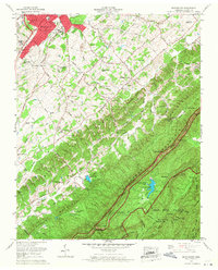
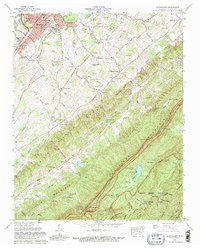
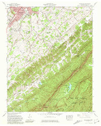
Editions of this 1966 Blockhouse Map
4 editions found
Other maps of this area

1886 · Knoxville
USGS Topo · 1:125,000

1892 · Knoxville
USGS Topo · 1:125,000

1894 · Knoxville
USGS Topo · 1:125,000

1895 · Loudon
USGS Topo · 1:125,000

1895 · Knoxville
USGS Topo · 1:125,000

1901 · Knoxville
USGS Topo · 1:125,000

1935 · Binfield
USGS Topo · 1:24,000

1935 · Knoxville
USGS Topo · 1:48,000

1935 · Maryville
USGS Topo · 1:24,000

1935 · Wildwood
USGS Topo · 1:24,000