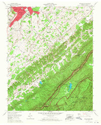
1966 Map of Blockhouse
USGS Topo · Published 1968About this map
Chilhowee Mountain and the Sulphur Knobs dominate this mid-century landscape where the residential expansion of Maryville meets the northern boundary of the Great Smoky Mountains National Park. The map reveals a transition from the urban grid and the L & N RR line in the northwest to the rugged interior of Blount County. Recreational and social development is evident through the mid-1960s, featuring the Maryville Dragway, the Lambert Acres Golf Course, and the hilltop enclave of Top of the World Estates overlooking Lake in the Sky. Local history and genealogy are anchored by numerous rural sites like the Carpenter Campground Cem and Peck Memorial Church. On the southern edge, the Foothills Parkway begins to snake through gaps such as Butterfly Gap and Wolfpen Gap, marking the era's infrastructure growth near Camp Montvale.
Find a feature on this map
98 named features on this map. Tap any name to fly to it.
Don’t see what you’re looking for? This feature index may not catch every label — zoom into the map to look around manually.
Map Details
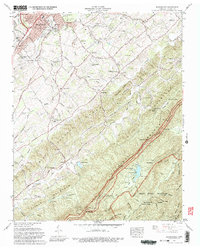
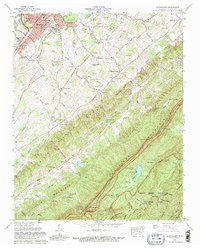
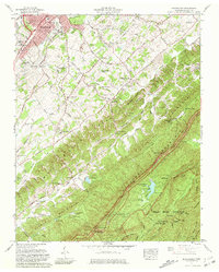
Editions of this 1966 Blockhouse Map
4 editions found
Other maps of this area

1886 · Knoxville
USGS Topo · 1:125,000

1892 · Knoxville
USGS Topo · 1:125,000

1894 · Knoxville
USGS Topo · 1:125,000

1895 · Loudon
USGS Topo · 1:125,000

1895 · Knoxville
USGS Topo · 1:125,000

1901 · Knoxville
USGS Topo · 1:125,000

1935 · Binfield
USGS Topo · 1:24,000

1935 · Knoxville
USGS Topo · 1:48,000

1935 · Maryville
USGS Topo · 1:24,000

1935 · Wildwood
USGS Topo · 1:24,000