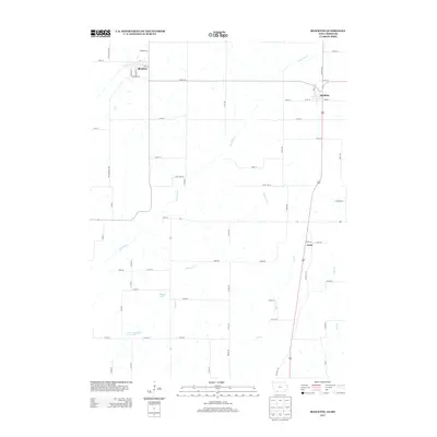
2013 Map of Blockton
USGS Topo · Published 2013About this map
Blockton and Redding anchor this rural landscape along the Iowa-Missouri border, where the Grand River and its tributaries carve a path through Taylor and Worth counties. The settlement of Irena sits further south in Missouri, connected by the north-south corridor of Highway 169. This 2013 survey illustrates a region defined by agricultural parcels and water management, with features like Zollman Lake and John Andrews Dam Lake indicating managed drainage in the watershed of Marlowe Cr and Jay Cr.
Find a feature on this map
67 named features on this map. Tap any name to fly to it.
Don’t see what you’re looking for? This feature index may not catch every label — zoom into the map to look around manually.
Map Details
Editions of this 2013 Blockton Map
This is the sole edition of this map. No revisions or reprints were ever made.
Other maps of this area

1940 · Blockton
USGS Topo · 1:62,500

1940 · Bedford
USGS Topo · 1:62,500

1940 · Parnell
USGS Topo · 1:62,500

1942 · Grant City
USGS Topo · 1:62,500

1943 · Bedford
USGS Topo · 1:62,500

1943 · Parnell
USGS Topo · 1:62,500

1943 · Grant City
USGS Topo · 1:62,500

1943 · Blockton
USGS Topo · 1:62,500

1955 · Nebraska City
USGS Topo · 1:250,000

1957 · Nebraska City
USGS Topo · 1:250,000