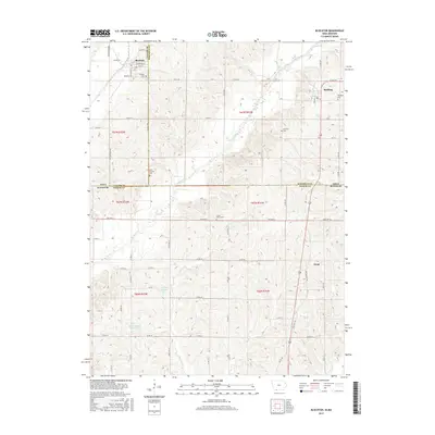
2015 Map of Blockton
USGS Topo · Published 2015About this map
The Grand River meanders across this rural borderland between Iowa and Missouri, defining a landscape of rolling agricultural land and dispersed small settlements. In the northern portion of the map, the town of Blockton is situated near the intersection of Redding Rd and Tay Gold Ave, serving as a local hub alongside the village of Redding. These communities are anchored by established landmarks such as Rosehill Cem and Redding Cem, which offer significant value for genealogists tracing family histories in Taylor and Ringgold counties.
Find a feature on this map
69 named features on this map. Tap any name to fly to it.
Don’t see what you’re looking for? This feature index may not catch every label — zoom into the map to look around manually.
Map Details
Editions of this 2015 Blockton Map
This is the sole edition of this map. No revisions or reprints were ever made.
Other maps of this area

1940 · Blockton
USGS Topo · 1:62,500

1940 · Bedford
USGS Topo · 1:62,500

1940 · Parnell
USGS Topo · 1:62,500

1942 · Grant City
USGS Topo · 1:62,500

1943 · Bedford
USGS Topo · 1:62,500

1943 · Parnell
USGS Topo · 1:62,500

1943 · Grant City
USGS Topo · 1:62,500

1943 · Blockton
USGS Topo · 1:62,500

1955 · Nebraska City
USGS Topo · 1:250,000

1957 · Nebraska City
USGS Topo · 1:250,000