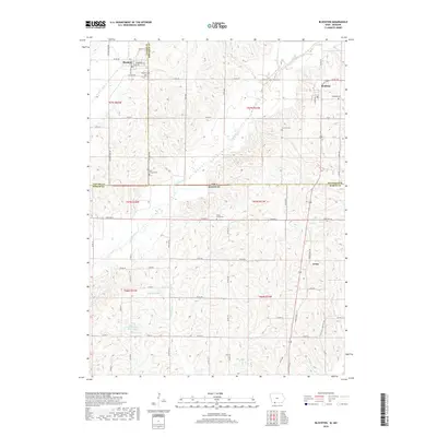
2018 Map of Blockton
USGS Topo · Published 2018About this map
Blockton and Redding anchor this 2018 survey of the rural landscape straddling the Iowa-Missouri border between Taylor and Ringgold counties. The terrain is defined by the winding course of the Grand River, which flows southward through a network of small tributaries including Marlowe Cr and Jay Cr. This contemporary topographic study details the modern road grid, from county routes like Co Rd J55 to the residential streets of Phoenix St and Stevenson St.
Find a feature on this map
69 named features on this map. Tap any name to fly to it.
Don’t see what you’re looking for? This feature index may not catch every label — zoom into the map to look around manually.
Map Details
Editions of this 2018 Blockton Map
This is the sole edition of this map. No revisions or reprints were ever made.
Other maps of this area

1940 · Blockton
USGS Topo · 1:62,500

1940 · Bedford
USGS Topo · 1:62,500

1940 · Parnell
USGS Topo · 1:62,500

1942 · Grant City
USGS Topo · 1:62,500

1943 · Bedford
USGS Topo · 1:62,500

1943 · Parnell
USGS Topo · 1:62,500

1943 · Grant City
USGS Topo · 1:62,500

1943 · Blockton
USGS Topo · 1:62,500

1955 · Nebraska City
USGS Topo · 1:250,000

1957 · Nebraska City
USGS Topo · 1:250,000