Loading...
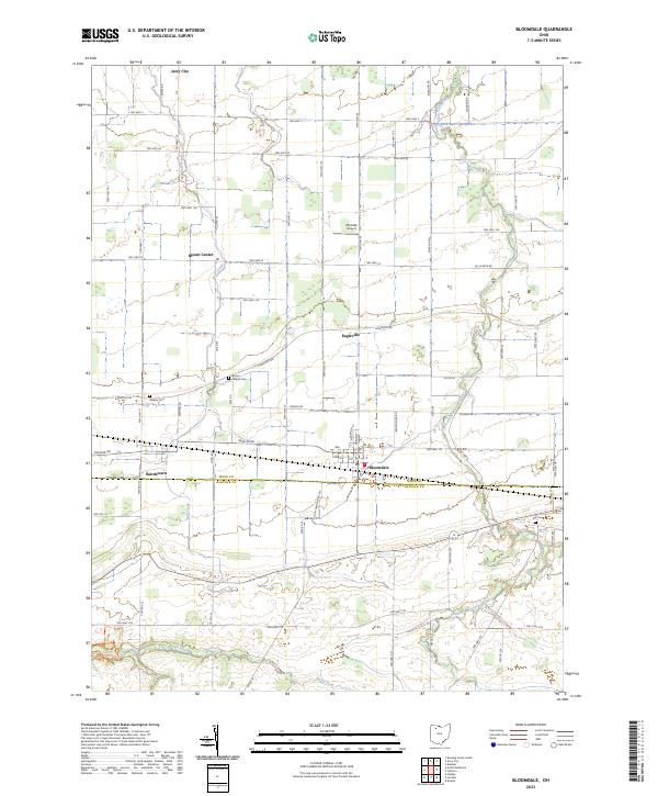
Loading map...2023 Map of Bloomdale
USGS Topo · Published 2023About this map
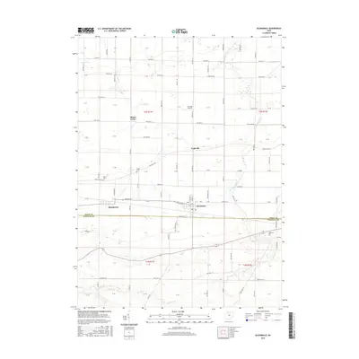
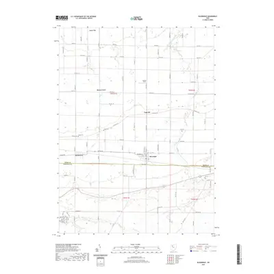
Bloomdale and Bairdstown anchor the southern portion of this landscape, where the administrative boundary of Wood Co Hancock Co divides the agricultural landscape. The region is characterized by a dense grid of township roads and county routes that define the rural character of northwestern Ohio. Waterways like the South Branch Portage River and Bull Creek meander through the farmland, providing natural drainage for the surrounding fields.
Find a feature on this map
61 named features on this map. Tap any name to fly to it.
Don’t see what you’re looking for? This feature index may not catch every label — zoom into the map to look around manually.
Map Details
Date Portrayed2023
Date Published2023
PublisherU.S. Geological Survey
Map TypeTopographic
Scale1:24,000
Physical Dimensions24 x 29 inches
Editions of this 2023 Bloomdale Map
This is the sole edition of this map. No revisions or reprints were ever made.
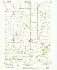
Historical Maps of Bloomdale Through Time
6 maps found
Featured Locations
Source Details
SourceU.S. Geological Survey
CopyrightPublic Domain