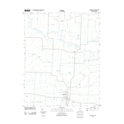
2012 Map of Bloomfield
USGS Topo · Published 2012About this map
Bloomfield serves as the primary hub in this portion of Stoddard County, situated south of the winding Upper Castor River. The landscape is characterized by a dense network of rural routes such as Link RD and Depot RD, connecting small communities including Aquilla, Zadock, and Proffers. This map reveals a high concentration of small burial grounds that suggest a long-established rural settlement pattern, with family and community sites like Wambel Cemetery, Link Cemetery, and Walker Cemetery scattered across the countryside. Waterways like Link Creek, Tedrick Creek, and Poplar Branch drain the terrain, which is also dotted with private water bodies such as Whites Lake and Joe Hendley Lake. The numerous cemeteries, including North Antioch Cemetery and West Antioch Cemetery, offer valuable data points for those tracing local family histories and early homestead locations.
Find a feature on this map
58 named features on this map. Tap any name to fly to it.
Don’t see what you’re looking for? This feature index may not catch every label — zoom into the map to look around manually.
Map Details
Editions of this 2012 Bloomfield Map
This is the sole edition of this map. No revisions or reprints were ever made.
Other maps of this area

1934 · Bloomfield
USGS Topo · 1:62,500

1934 · Advance
USGS Topo · 1:62,500

1934 · Puxico
USGS Topo · 1:62,500

1935 · Zalma
USGS Topo · 1:62,500

1939 · Bloomfield
USGS Topo · 1:62,500

1939 · Advance
USGS Topo · 1:62,500

1939 · Puxico
USGS Topo · 1:62,500

1939 · Zalma
USGS Topo · 1:62,500

1949 · Paducah
USGS Topo · 1:250,000

1949 · Rolla
USGS Topo · 1:250,000