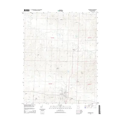
2015 Map of Bloomfield
USGS Topo · Published 2015About this map
Bloomfield serves as the focal point of this Stoddard County landscape, situated at a transition between the elevated terrain and the river bottomlands. The town's grid is detailed alongside significant local landmarks like the Bloomfield Cemetery. The surrounding countryside is defined by the winding course of the Upper Castor River, which snakes across the northern and eastern sections of the quadrangle. Smaller water features such as Joe Hendley Lake, Whites Lake, and Tedrick Cr drain the various townships, which are systematically divided by an extensive network of county roads including Co Road 514 and Co Road 270.
Find a feature on this map
73 named features on this map. Tap any name to fly to it.
Don’t see what you’re looking for? This feature index may not catch every label — zoom into the map to look around manually.
Map Details
Editions of this 2015 Bloomfield Map
This is the sole edition of this map. No revisions or reprints were ever made.
Other maps of this area

1934 · Bloomfield
USGS Topo · 1:62,500

1934 · Advance
USGS Topo · 1:62,500

1934 · Puxico
USGS Topo · 1:62,500

1935 · Zalma
USGS Topo · 1:62,500

1939 · Bloomfield
USGS Topo · 1:62,500

1939 · Advance
USGS Topo · 1:62,500

1939 · Puxico
USGS Topo · 1:62,500

1939 · Zalma
USGS Topo · 1:62,500

1949 · Paducah
USGS Topo · 1:250,000

1949 · Rolla
USGS Topo · 1:250,000