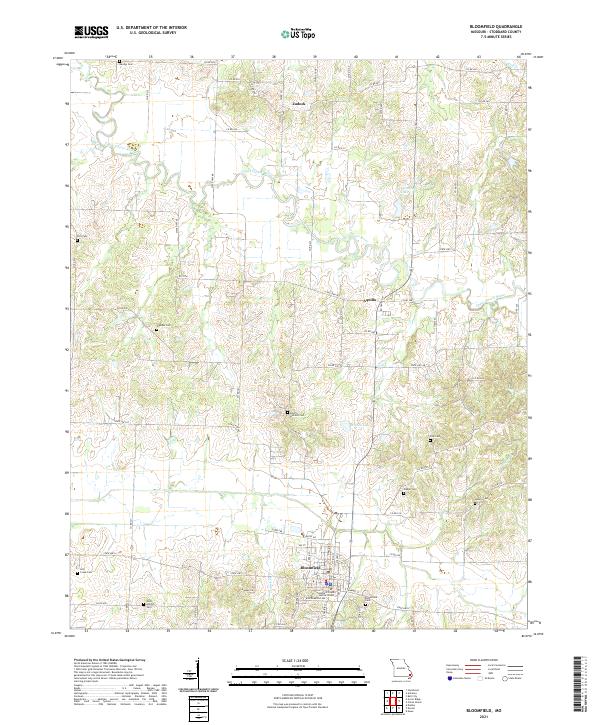
2021 Map of Bloomfield
USGS Topo · Published 2021About this map
The Upper Castor River meanders across this Stoddard County landscape, defining a terrain of river bottoms and rolling uplands north of Bloomfield. This modern topographic survey shows the seat of local government at the Stoddard County Justice Center, surrounded by a dense network of county roads like Co RD 514 and Stoddard RD. Historically significant sites for genealogists are numerous, including several family and community burial grounds such as North Antioch Cem, West Antioch Cem, and the rural Walker Cem.
Find a feature on this map
77 named features on this map. Tap any name to fly to it.
Don’t see what you’re looking for? This feature index may not catch every label — zoom into the map to look around manually.
Map Details
Editions of this 2021 Bloomfield Map
This is the sole edition of this map. No revisions or reprints were ever made.
Other maps of this area

1934 · Bloomfield
USGS Topo · 1:62,500

1934 · Advance
USGS Topo · 1:62,500

1934 · Puxico
USGS Topo · 1:62,500

1935 · Zalma
USGS Topo · 1:62,500

1939 · Bloomfield
USGS Topo · 1:62,500

1939 · Advance
USGS Topo · 1:62,500

1939 · Puxico
USGS Topo · 1:62,500

1939 · Zalma
USGS Topo · 1:62,500

1949 · Paducah
USGS Topo · 1:250,000

1949 · Rolla
USGS Topo · 1:250,000