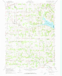
1961 Map of Blooming Grove
USGS Topo · Published 1974About this map
Chestnut Ridge forms a prominent north-south spine across this north-central Ohio landscape, dividing the headwaters of Whetstone Creek from the drainage basin of the Clear Fork Mohican River. The map captures a rural interior at the meeting point of Crawford, Richland, and Morrow counties, characterized by a dense network of country roads like Lexington-Steam Corners Road and the path of the Erie Railroad in the northwest. Significant local landmarks include the crossroads of Steam Corners and Jugs Corners, along with the massive expanse of the Clear Fork Reservoir in the northeast.
Find a feature on this map
49 named features on this map. Tap any name to fly to it.
Don’t see what you’re looking for? This feature index may not catch every label — zoom into the map to look around manually.
Map Details
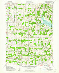
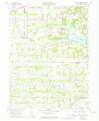
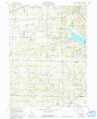
Editions of this 1961 Blooming Grove Map
4 editions found
Other maps of this area

1913 · Mount Gilead
USGS Topo · 1:62,500

1915 · Bucyrus
USGS Topo · 1:62,500

1915 · Crestline
USGS Topo · 1:62,500

1915 · Shauck
USGS Topo · 1:62,500

1916 · Mount Gilead
USGS Topo · 1:62,500

1943 · Shauck
USGS Topo · 1:62,500

1943 · Bucyrus
USGS Topo · 1:62,500

1943 · Crestline
USGS Topo · 1:62,500

1943 · Mount Gilead
USGS Topo · 1:62,500

1950 · Marion
USGS Topo · 1:250,000