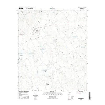
2016 Map of Blooming Grove
USGS Topo · Published 2016About this map
Blooming Grove and the surrounding Navarro County countryside are defined by a sophisticated network of water management features and small, enduring settlements. This landscape is marked by numerous flood control structures, including the Soil Conservation Service Site 123 Reservoir and Soil Conservation Service Site 119A Reservoir, which manage the drainage of Rush Cr and Carroll Br. These engineered lakes sit alongside historic rural centers like Dresden and Raleigh, where Old Raleigh Cem provides a focal point for genealogical interest. The terrain is a web of local routes such as Lone Cedar Pike and Old Rankin Rd, connecting the larger hub of Barry to the creek bottoms of Pecan Cr and Post Oak Cr. The map captures the specialized agricultural and conservation character of the region during the mid-2010s.
Find a feature on this map
82 named features on this map. Tap any name to fly to it.
Don’t see what you’re looking for? This feature index may not catch every label — zoom into the map to look around manually.
Map Details
Editions of this 2016 Blooming Grove Map
This is the sole edition of this map. No revisions or reprints were ever made.
Other maps of this area

1954 · Dallas
USGS Topo · 1:250,000

1954 · Waco
USGS Topo · 1:250,000

1955 · Waco
USGS Topo · 1:250,000

1956 · Dawson
USGS Topo · 1:24,000

1957 · Irene
USGS Topo · 1:24,000

1958 · Dallas
USGS Topo · 1:250,000

1962 · Emhouse
USGS Topo · 1:24,000

1962 · Cryer Creek
USGS Topo · 1:24,000
1965 · Avalon
USGS Topo · 1:24,000
1965 · Blooming Grove
USGS Topo · 1:24,000