
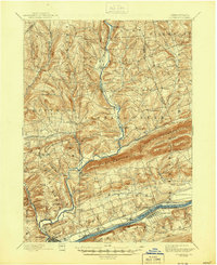
1894 Map of Bloomsburg
USGS Topo · Published 1894About this map
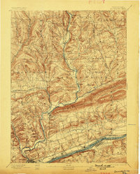
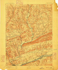
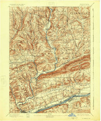
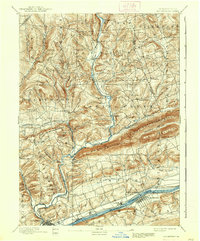
Bloomsburg anchors the southwestern corner of this survey, positioned where the Sullivan and Bloomsburg RR meets the larger transport corridor of the Sesquehanna River. The landscape is dominated by the prominent ridges of Knob Mountain and Huntington Mountain, which channel the various branches of Fishing Creek as they descend toward the river. In the north, small mill settlements like Coles Mills and Benton suggest a local economy tied to the numerous watercourses, while the southern edge of the map reveals the complex infrastructure of the late nineteenth century. Parallel to the river, the Penna Canal and the Penna RR run through Mifflinville, reflecting a period when canal and rail systems operated side-by-side. The distribution of small stations like Zaner Station and villages such as Light Street illustrates a well-connected network of rural hamlets before the widespread adoption of modern highways.
Find a feature on this map
67 named features on this map. Tap any name to fly to it.
Don’t see what you’re looking for? This feature index may not catch every label — zoom into the map to look around manually.
Map Details
Editions of this 1894 Bloomsburg Map
6 editions found
Other maps of this area

1889 · Catawissa
USGS Topo · 1:62,500

1891 · Harveys Lake
USGS Topo · 1:62,500

1892 · Catawissa
USGS Topo · 1:62,500

1892 · Shamokin
USGS Topo · 1:62,500

1892 · Mahanoy
USGS Topo · 1:62,500

1893 · Harvey Lake
USGS Topo · 1:62,500

1893 · Shamokin
USGS Topo · 1:62,500

1893 · Mahanoy
USGS Topo · 1:62,500

1894 · Catawissa
USGS Topo · 1:62,500

1894 · Shickshinny
USGS Topo · 1:62,500