
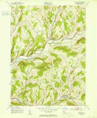
1943 Map of Bloomville
USGS Topo · Published 1953About this map
The West Branch Delaware River carves through the Catskill foothills, anchoring the valley settlement of Bloomville during the mid-1940s. This era represents a peak of the dairy-focused landscape, where family-named schools and cemeteries are scattered across the surrounding uplands of Bovina and Kortright. The infrastructure of the New York Central Railroad follows the river's winding course, providing a vital link for the valley's agricultural economy.
Find a feature on this map
38 named features on this map. Tap any name to fly to it.
Don’t see what you’re looking for? This feature index may not catch every label — zoom into the map to look around manually.
Map Details
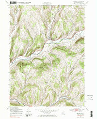
Editions of this 1943 Bloomville Map
Other maps of this area

1901 · Margaretville
USGS Topo · 1:62,500

1904 · Hobart
USGS Topo · 1:62,500

1904 · Margaretville
USGS Topo · 1:62,500

1909 · Delhi
USGS Topo · 1:62,500

1911 · Delhi
USGS Topo · 1:62,500

1922 · Andes
USGS Topo · 1:62,500

1924 · Andes
USGS Topo · 1:62,500

1943 · Delhi
USGS Topo · 1:24,000
1943 · West Davenport
USGS Topo · 1:24,000
1943 · Davenport
USGS Topo · 1:24,000