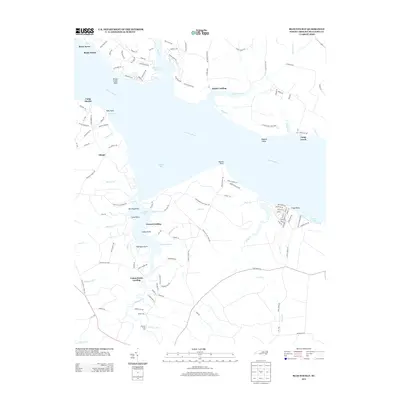
2013 Map of Blounts Bay
USGS Topo · Published 2013About this map
Blounts Bay and the wide reach of the Pamlico River define this coastal landscape, where numerous guts, creeks, and runs carve into the Beaufort County shoreline. This era of the waterfront shows a mix of recreational and residential growth, featuring established communities like River Acres and Shady Banks alongside the preserved marshes of Goose Creek State Park. The map documents a maritime-centric layout where small landings, such as Gerard Landing and Cotton Patch Landing, serve as primary access points to the complex network of tidal inlets. To the south, Blounts Creek Mill stands near the confluence of Blounts Cr and Herring Run, marking a site of local industrial history. The presence of McCotters Marina and several scout camps, including Camp Hardee, emphasizes the river's role in local recreation and youth organizations during the early 21st century.
Find a feature on this map
130 named features on this map. Tap any name to fly to it.
Don’t see what you’re looking for? This feature index may not catch every label — zoom into the map to look around manually.
Map Details
Editions of this 2013 Blounts Bay Map
This is the sole edition of this map. No revisions or reprints were ever made.
Other maps of this area

1902 · Vanceboro
USGS Topo · 1:62,500

1903 · Chocowinity
USGS Topo · 1:62,500

1904 · Vanceboro
USGS Topo · 1:62,500

1905 · Chocowinity
USGS Topo · 1:62,500

1905 · Vanceboro
USGS Topo · 1:62,500

1943 · Plymouth
USGS Topo · 1:125,000

1950 · Pinetown
USGS Topo · 1:24,000

1950 · Aurora
USGS Topo · 1:24,000

1950 · Edward
USGS Topo · 1:24,000

1951 · Bunyan
USGS Topo · 1:24,000