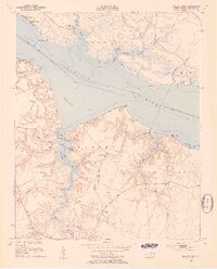
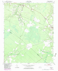
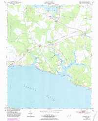
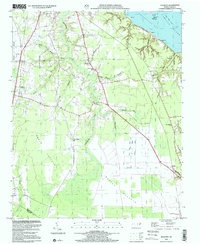
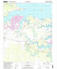
1953 Map of Blounts Bay
USGS Topo · Published 1954This historical map portrays the area of Blounts Bay in 1953, primarily covering Beaufort County. Featuring a scale of 1:24000, this map provides a highly detailed snapshot of the terrain, roads, buildings, counties, and historical landmarks in the Blounts Bay region at the time. Published in 1954, it is one of 5 known editions of this map due to revisions or reprints.
Find a feature on this map
62 named features on this map. Tap any name to fly to it.
Don’t see what you’re looking for? This feature index may not catch every label — zoom into the map to look around manually.
Map Details
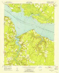
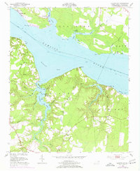
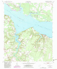
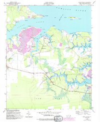
Editions of this 1953 Blounts Bay Map
5 editions found
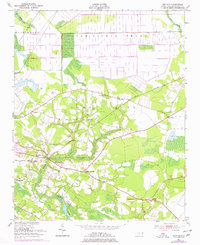
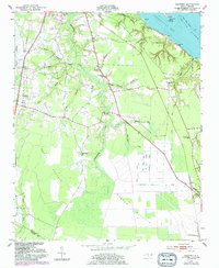
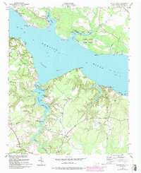
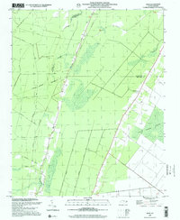
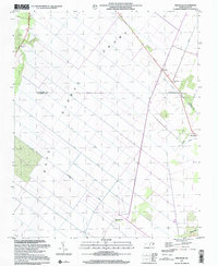
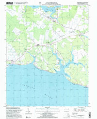
Historical Maps of Dinah Landing Through Time
13 maps found
1950 Edward
Beaufort County, NC
1950 South Creek
Beaufort County, NC
1951 Bunyan
Beaufort County, NC
1951 Hackney
Beaufort County, NC
1951 Ransomville
Beaufort County, NC
1953 Blounts Bay
Beaufort County, NC
1954 Pike Road
Beaufort County, NC
1978 Hoke
Beaufort County, NC
1997 Hackney
Beaufort County, NC
1997 Hoke
Beaufort County, NC
1997 Pike Road
Beaufort County, NC
1997 Ransomville
Beaufort County, NC
2000 South Creek
Beaufort County, NC