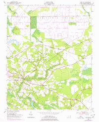
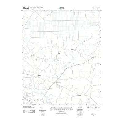
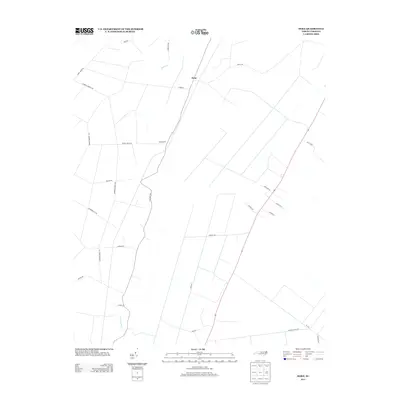
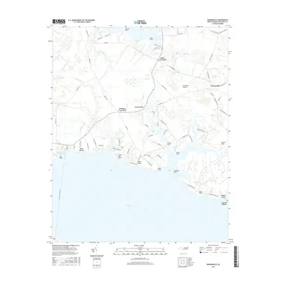
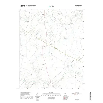
1951 Map of Bunyan
USGS Topo · Published 1978About this map
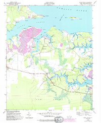
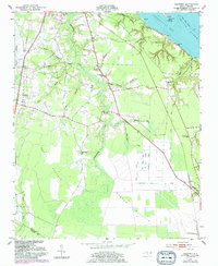
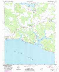
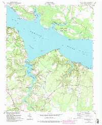
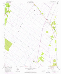
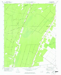
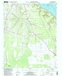
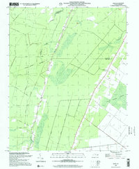
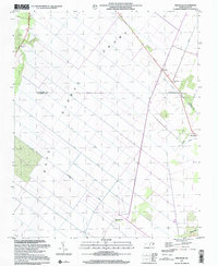
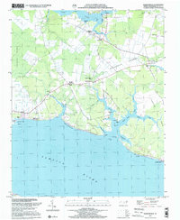
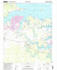
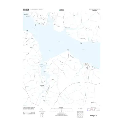
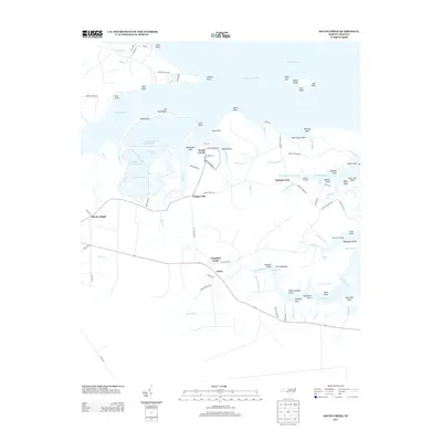
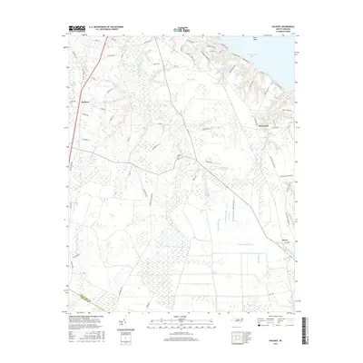
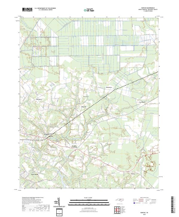
Norfolk Southern rails cut through the low-lying terrain of Beaufort County, connecting small agrarian communities north of the Pamlico River. This mid-century survey reveals a landscape defined by expansive wetlands, most notably the J & W Dismal Swamp and Big Swamp, where drainage patterns and road placements reflect the challenges of the coastal plain. Scattered settlements like Bunyan and Alligoods serve as local anchors, while a network of country churches, including Rosemary Ch and Zion Ch, highlights the rural social structure of the era. The presence of the River Road Sch and several named crossroads like Five Points suggest a well-established community infrastructure despite the surrounding marshes. Cultural revisions from 1974 are noted in purple, showing the evolution of local landmarks and roads like those near Betsys Elbow and Douglas Crossroads over the decades.
Find a feature on this map
29 named features on this map. Tap any name to fly to it.
Don’t see what you’re looking for? This feature index may not catch every label — zoom into the map to look around manually.
Map Details
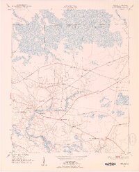
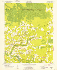
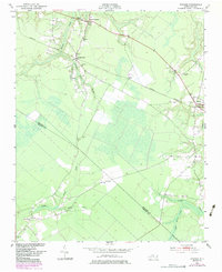
Editions of this 1951 Bunyan Map
3 editions found
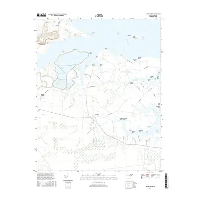
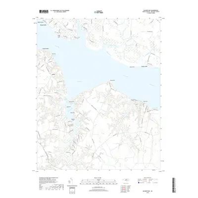
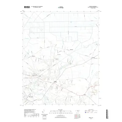
Historical Maps of Washington Through Time
58 maps found
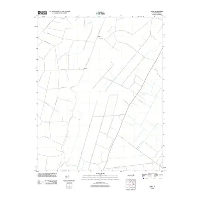
1950 Edward
Beaufort County, NC
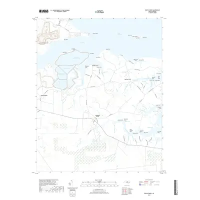
1950 South Creek
Beaufort County, NC
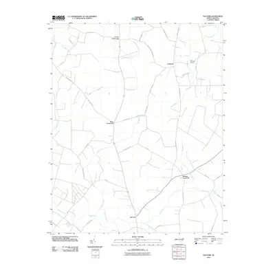
1951 Bunyan
Beaufort County, NC
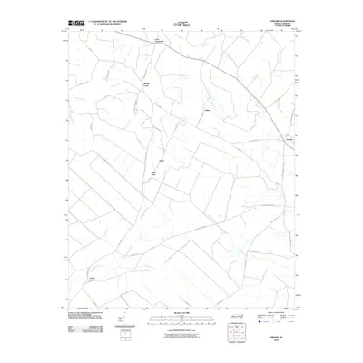
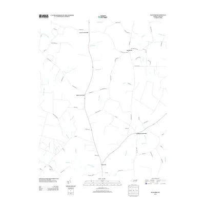
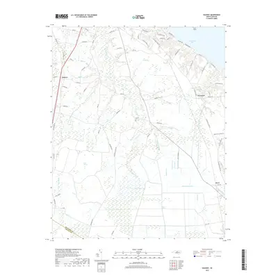
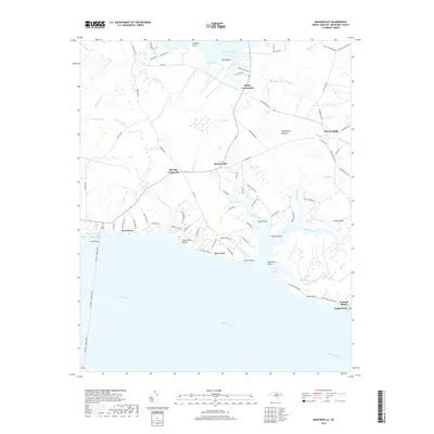
1951 Hackney
Beaufort County, NC
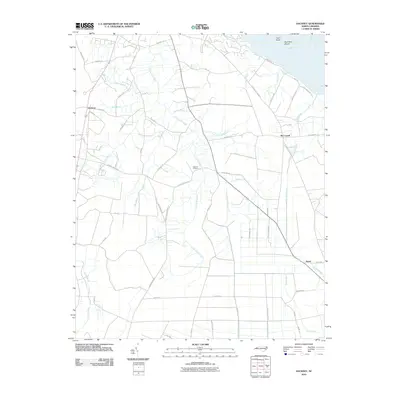
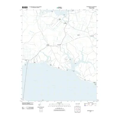
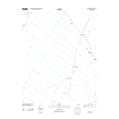
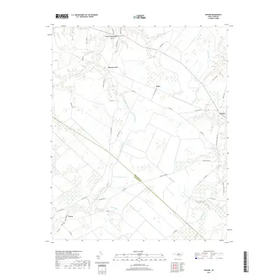
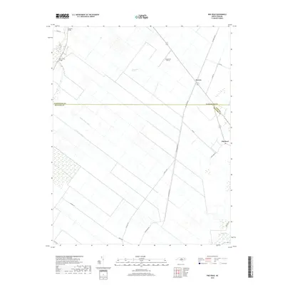
1951 Ransomville
Beaufort County, NC
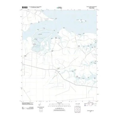
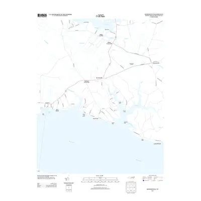
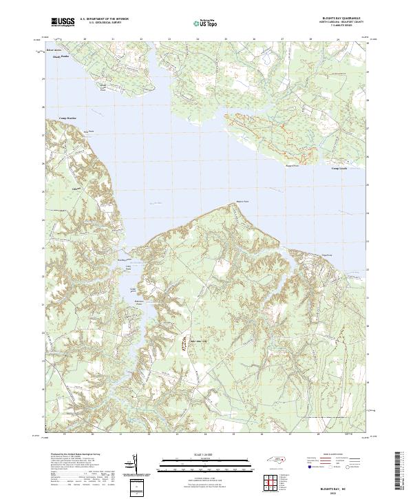
1953 Blounts Bay
Beaufort County, NC
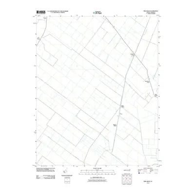
1954 Pike Road
Beaufort County, NC
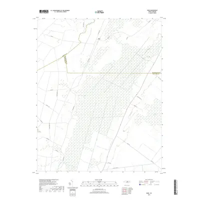
1978 Hoke
Beaufort County, NC
1997 Hackney
Beaufort County, NC
1997 Hoke
Beaufort County, NC
1997 Pike Road
Beaufort County, NC
1997 Ransomville
Beaufort County, NC
2000 South Creek
Beaufort County, NC
2010 Blounts Bay
Beaufort County, NC
2010 Bunyan
Beaufort County, NC
2010 Edward
Beaufort County, NC
2010 Hackney
Beaufort County, NC
2010 Hoke
Beaufort County, NC
2010 Old Ford
Beaufort County, NC
2010 Pike Road
Beaufort County, NC
2010 Ransomville
Beaufort County, NC
2010 South Creek
Beaufort County, NC
2013 Blounts Bay
Beaufort County, NC
2013 Bunyan
Beaufort County, NC
2013 Edward
Beaufort County, NC
2013 Hackney
Beaufort County, NC
2013 Hoke
Beaufort County, NC
2013 Old Ford
Beaufort County, NC
2013 Pike Road
Beaufort County, NC
2013 Ransomville
Beaufort County, NC
2013 South Creek
Beaufort County, NC
2016 Blounts Bay
Beaufort County, NC
2016 Bunyan
Beaufort County, NC
2016 Edward
Beaufort County, NC
2016 Hackney
Beaufort County, NC
2016 Hoke
Beaufort County, NC
2016 Old Ford
Beaufort County, NC
2016 Pike Road
Beaufort County, NC
2016 Ransomville
Beaufort County, NC
2016 South Creek
Beaufort County, NC
2019 Blounts Bay
Beaufort County, NC
2019 Bunyan
Beaufort County, NC
2019 Edward
Beaufort County, NC
2019 Hackney
Beaufort County, NC
2019 Hoke
Beaufort County, NC
2019 Old Ford
Beaufort County, NC
2019 Pike Road
Beaufort County, NC
2019 Ransomville
Beaufort County, NC
2019 South Creek
Beaufort County, NC
2022 Blounts Bay
Beaufort County, NC
2022 Bunyan
Beaufort County, NC
2022 Edward
Beaufort County, NC
2022 Hackney
Beaufort County, NC
2022 Hoke
Beaufort County, NC
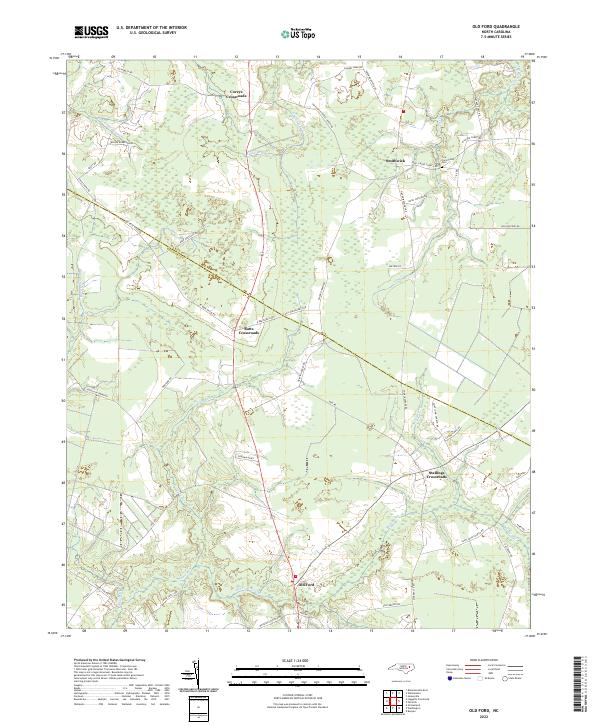
2022 Old Ford
Beaufort County, NC
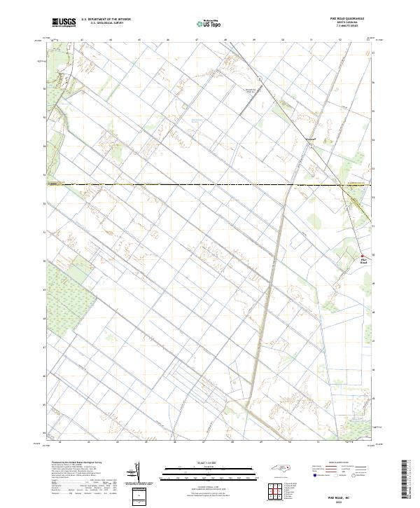
2022 Pike Road
Beaufort County, NC
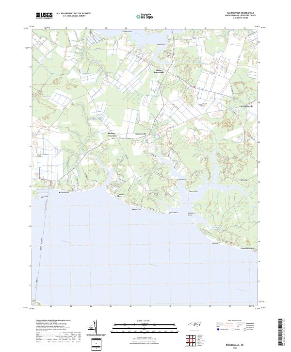
2022 Ransomville
Beaufort County, NC
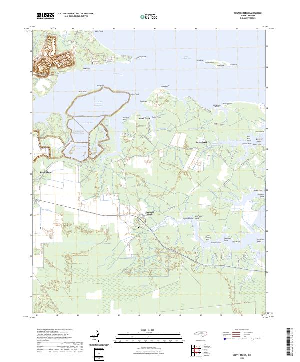
2022 South Creek
Beaufort County, NC