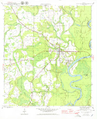
1945 Map of Blountstown
USGS Topo · Published 1979About this map
Blountstown serves as the focal point of this mid-1940s survey, situated along the western banks of the winding Apalachicola River. The town is the southern terminus for the Marianna and Blountstown railroad, which cuts a straight path southeast through small stops like Leonards and Durham. This period of Florida's history is characterized by a landscape dominated by timber and wetlands, with the map recording numerous swamps and bays such as Bullhead Bay and Juniper Swamp. Local genealogy is anchored by the presence of Nettle Ridge Cem and Boggs Cem, while the industrial past is suggested by sites like Flowers Still and Browns Mill Pond. The river boundary between Calhoun and Liberty Counties highlights the importance of the waterway for regional navigation and commerce prior to significant modern development.
Find a feature on this map
39 named features on this map. Tap any name to fly to it.
Don’t see what you’re looking for? This feature index may not catch every label — zoom into the map to look around manually.
Map Details
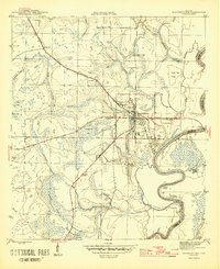
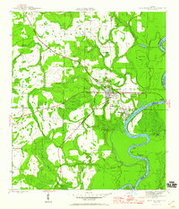
Editions of this 1945 Blountstown Map
4 editions found
Other maps of this area

1944 · Clarksville
USGS Topo · 1:31,680

1945 · Blountstown
USGS Topo · 1:31,680

1945 · Clarksville
USGS Topo · 1:31,680

1945 · Estiffanulga
USGS Topo · 1:31,680

1945 · Bristol
USGS Topo · 1:31,680

1945 · Frink
USGS Topo · 1:31,680

1945 · Woods
USGS Topo · 1:31,680

1952 · Altha West
USGS Topo · 1:24,000

1952 · Altha East
USGS Topo · 1:24,000

1954 · Tallahassee
USGS Topo · 1:250,000