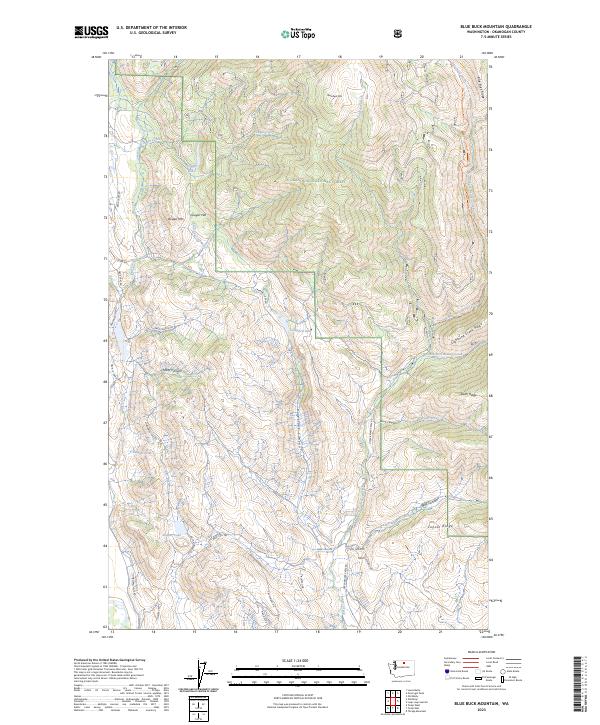
2023 Map of Blue Buck Mountain
USGS Topo · Published 2023About this map
Methow Winter Range and Wildlife Refuge dominates the northwestern reaches of this Okanogan County landscape, providing critical habitat within a network of public lands that includes the Okanogan National Forest. The terrain is defined by dramatic elevation shifts and deep carved features like Pipestone Canyon and Wolf Canyon. Water is a central element of the geography, with several significant bodies such as Cougar Lake, Campbell Lake, and Bonner Lake scattered throughout the valleys.
Find a feature on this map
53 named features on this map. Tap any name to fly to it.
Don’t see what you’re looking for? This feature index may not catch every label — zoom into the map to look around manually.
Map Details
Editions of this 2023 Blue Buck Mountain Map
This is the sole edition of this map. No revisions or reprints were ever made.
Other maps of this area

1899 · Methow
USGS Topo · 1:125,000

1901 · Methow
USGS Topo · 1:125,000

1905 · Okanogan
USGS Topo · 1:125,000

1906 · Chopaka
USGS Topo · 1:125,000

1954 · Okanogan
USGS Topo · 1:250,000

1955 · Concrete
USGS Topo · 1:250,000

1956 · Loup Loup
USGS Topo · 1:62,500

1956 · Tiffany Mountain
USGS Topo · 1:62,500

1958 · Concrete
USGS Topo · 1:250,000

1958 · Okanogan
USGS Topo · 1:250,000