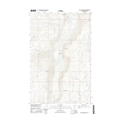
2017 Map of Blue Goat Mountain
USGS Topo · Published 2017About this map
Sinlahekin Valley anchors this high-elevation landscape in Okanogan County, where water management and mountainous terrain define the local geography. The map reveals a series of water bodies used for storage and irrigation, including Blue Lake, Conners Lake, and the engineered Sinlahekin Impoundment Number Two. The topography is dominated by prominent summits such as Blue Goat Mountain, Douglas Mountain, and Aeneas Mtn, providing a detailed record of the ridgelines and drainages that shape this part of the Pacific Northwest. Local access is primarily through a network of rural routes like Sinlahekin Rd and Lemanasky Rd, while the naming of Pine Creek Cemetery Rd indicates a site of potential interest for family historians tracing roots in the area. The presence of several small creeks, such as Sarsapkin Cr and Wickiup Cr, highlights the vital watershed role this region plays.
Find a feature on this map
29 named features on this map. Tap any name to fly to it.
Don’t see what you’re looking for? This feature index may not catch every label — zoom into the map to look around manually.
Map Details
Editions of this 2017 Blue Goat Mountain Map
This is the sole edition of this map. No revisions or reprints were ever made.
Other maps of this area

1906 · Chopaka
USGS Topo · 1:125,000

1954 · Okanogan
USGS Topo · 1:250,000

1956 · Loomis
USGS Topo · 1:62,500

1956 · Tiffany Mountain
USGS Topo · 1:62,500

1956 · Horseshoe Basin
USGS Topo · 1:62,500

1957 · Conconully
USGS Topo · 1:62,500

1958 · Okanogan
USGS Topo · 1:250,000
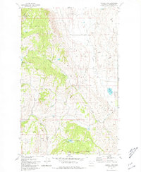
1980 · Aeneas Lake
USGS Topo · 1:24,000
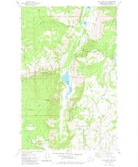
1980 · Blue Goat Mtn
USGS Topo · 1:24,000
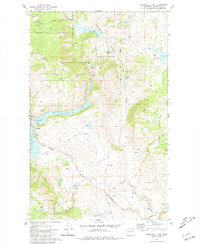
1981 · Conconully East
USGS Topo · 1:24,000