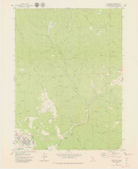
1979 Map of Blue Lake
USGS Topo · Published 1979About this map
Blue Lake sits at the southwestern corner of this landscape, serving as a gateway to the mountainous terrain of Humboldt County. The settlement pattern here follows the drainage of the Mad River, which is fed by the North Fork and East Fork Mad River. Higher elevations are defined by long, narrow ridgelines like Tip Top Ridge and Wiregrass Ridge, which overlook a series of small meadows and flats such as Elk Prairie, Miller Prairie, and Round Prairie. These clearings provided essential open ground amidst the heavily dissected timberland.
Find a feature on this map
41 named features on this map. Tap any name to fly to it.
Don’t see what you’re looking for? This feature index may not catch every label — zoom into the map to look around manually.
Map Details
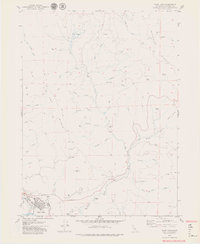
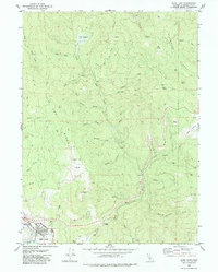
Editions of this 1979 Blue Lake Map
3 editions found
Other maps of this area

1922 · Eureka
USGS Topo · 1:62,500

1922 · Korbel
USGS Topo · 1:62,500

1925 · Hoopa
USGS Topo · 1:125,000

1933 · Eureka
USGS Topo · 1:48,000

1942 · Eureka
USGS Topo · 1:62,500

1945 · Trinidad
USGS Topo · 1:62,500

1945 · Coyote Peak
USGS Topo · 1:62,500

1945 · Blue Lake
USGS Topo · 1:62,500

1948 · Weed
USGS Topo · 1:250,000

1949 · Eureka
USGS Topo · 1:250,000