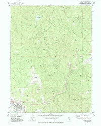
1979 Map of Blue Lake
USGS Topo · Published 1979About this map
Blue Lake sits at the confluence of several major waterways in this late-1970s topographic study of Humboldt County. The landscape is defined by the winding course of the Mad River and its numerous tributaries, including Powers Creek and the North Fork Mad River. Settlement is concentrated in the southwestern corner, where municipal infrastructure like the Sewage Disposal Pond and Water Tanks supports the community. Beyond the town, the terrain rises sharply toward Tip Top Ridge and Wiregrass Ridge, featuring a series of grassy openings such as Elk Prairie, Fawn Prairie, and Round Prairie. These high-elevation clearings among the timbered ridges suggest a long history of seasonal grazing or natural meadow formations. Smaller locales like Liscom Hill, Camp Bauer, and the Ford Ranch are connected by a network of trails, while legacy industrial features including Quarries and a Borrow Pit appear near Railroad Canyon Creek.
Find a feature on this map
45 named features on this map. Tap any name to fly to it.
Don’t see what you’re looking for? This feature index may not catch every label — zoom into the map to look around manually.
Map Details
Editions of this 1979 Blue Lake Map
3 editions found
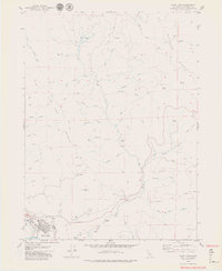
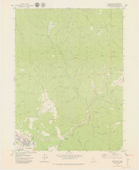
Other maps of this area

1922 · Eureka
USGS Topo · 1:62,500

1922 · Korbel
USGS Topo · 1:62,500

1925 · Hoopa
USGS Topo · 1:125,000

1933 · Eureka
USGS Topo · 1:48,000

1942 · Eureka
USGS Topo · 1:62,500

1945 · Trinidad
USGS Topo · 1:62,500

1945 · Coyote Peak
USGS Topo · 1:62,500

1945 · Blue Lake
USGS Topo · 1:62,500

1948 · Weed
USGS Topo · 1:250,000

1949 · Eureka
USGS Topo · 1:250,000