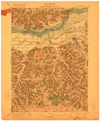
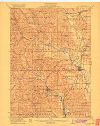
1922 Map of Blue Mounds
USGS Topo · Published 1922About this map
The Wisconsin River dominates the northern landscape of this region, winding past landmarks like Ferry Bluff and Twin Bluffs. This early twentieth-century survey captures a network of rural schoolhouses and small settlements connected by the Chicago Milwaukee and St Paul railroad. The topography transitions from the river lowlands near Cedar Island into the dissected uplands of the Blue Mounds and the Blue Ridge.
Find a feature on this map
80 named features on this map. Tap any name to fly to it.
Don’t see what you’re looking for? This feature index may not catch every label — zoom into the map to look around manually.
Map Details
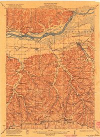
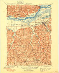
Editions of this 1922 Blue Mounds Map
3 editions found
Other maps of this area
1895 · Baraboo
USGS Topo · 1:62,500
1901 · Denzer
USGS Topo · 1:62,500
1902 · Mineral Point
USGS Topo · 1:125,000
1905 · Richland Center
USGS Topo · 1:125,000
1907 · Cross Plains
USGS Topo · 1:62,500
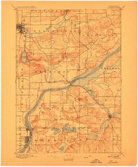
1908 · Baraboo
USGS Topo · 1:62,500
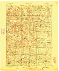
1909 · Cross Plains
USGS Topo · 1:62,500
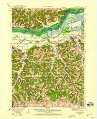
1920 · Blue Mounds
USGS Topo · 1:62,500
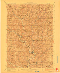
1923 · Blanchardville
USGS Topo · 1:62,500
1923 · New Glarus
USGS Topo · 1:62,500