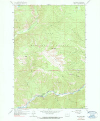
1965 Map of Blue Point
USGS Topo · Published 1990About this map
The Blackfoot River carves a deep corridor through this portion of the Lolo National Forest, where the Milwaukee St Paul and Pacific railroad follows the winding southern bank. Near the settlement of Bonner, the landscape transitions from the river valley to the steep elevations of Blue Point and Sheep Mountain. The map reveals a mid-century recreational landscape along the river, including the Blue Slide Campground, Marco Flat Picnic Area, and Angevine Park Picnic Area. High-altitude features like Farmers Lakes and Shoofly Meadows suggest the remote character of the northern interior. An intricate network of drainages, including Rattlesnake Creek and Wisherd Gulch, feeds the main river system, while a Pack Trail and Jeep Trail provide the primary access into the steep terrain of Wisherd Ridge.
Find a feature on this map
32 named features on this map. Tap any name to fly to it.
Don’t see what you’re looking for? This feature index may not catch every label — zoom into the map to look around manually.
Map Details
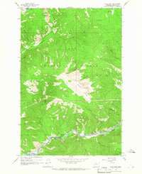
Editions of this 1965 Blue Point Map
2 editions found
Other maps of this area

1903 · Bonner
USGS Topo · 1:125,000

1921 · Elbow Lake
USGS Topo · 1:125,000

1947 · Butte
USGS Topo · 1:250,000

1955 · Choteau
USGS Topo · 1:250,000

1957 · Choteau
USGS Topo · 1:250,000

1958 · Butte
USGS Topo · 1:250,000

1958 · Choteau
USGS Topo · 1:250,000

1960 · Butte
USGS Topo · 1:250,000

1962 · Choteau
USGS Topo · 1:250,000

1962 · Butte
USGS Topo · 1:250,000