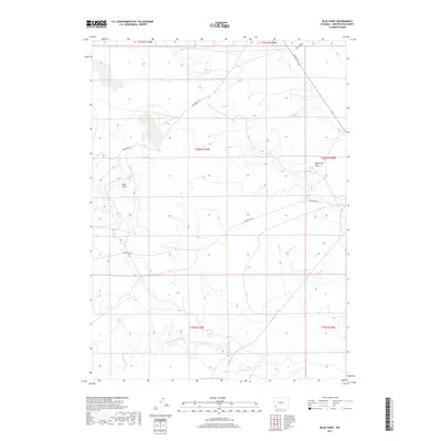
2017 Map of Blue Point
USGS Topo · Published 2017About this map
Emigrant Trl winds through this high desert landscape, marking the historical route of westward migration across Sweetwater County. The terrain is defined by dramatic landforms such as Blue Point and the winding Demming Draw, while the southern reaches of the map are shaped by the meandering course of Blacks Fork. This 2017 survey illustrates a modern intersection of heritage and industry, where ancient trails cross paths with contemporary infrastructure like Texasgulf Rd and La Barge Rd. The map provides a clear view of the drainage patterns feeding into the river system, situated within the expansive public land survey townships of the Green River basin. It is an essential document for understanding how historic transit corridors remain visible in the contemporary Wyoming landscape.
Find a feature on this map
13 named features on this map. Tap any name to fly to it.
Don’t see what you’re looking for? This feature index may not catch every label — zoom into the map to look around manually.
Map Details
Editions of this 2017 Blue Point Map
This is the sole edition of this map. No revisions or reprints were ever made.
Other maps of this area

1954 · Rock Springs
USGS Topo · 1:250,000

1958 · Rock Springs
USGS Topo · 1:250,000

1961 · Blue Point
USGS Topo · 1:24,000

1961 · Little America
USGS Topo · 1:24,000

1961 · Sevenmile Gulch
USGS Topo · 1:24,000

1961 · Granger
USGS Topo · 1:24,000

1961 · Stevens Flat
USGS Topo · 1:24,000

1961 · Bryan
USGS Topo · 1:24,000

1962 · Rock Springs
USGS Topo · 1:250,000

1963 · Big Island Bridge
USGS Topo · 1:24,000