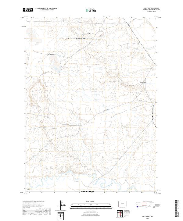
2021 Map of Blue Point
USGS Topo · Published 2021About this map
Blacks Fork meanders through the southern reaches of this Sweetwater County landscape, defining the local drainage system alongside Sevenmile Wash. The terrain is marked by distinctive elevations such as Blue Point and the natural corridor of Demming Draw. This area preserves a layered history of western transit, where the historic path of the Emigrant Trl cuts across the high ground, intersecting modern infrastructure like Texasgulf Rd. The map illustrates the transition from historical wagon routes to the industrial and access roads of the modern era, including La Barge Rd and Big Island Rd, which serve the high plains north of the river. The survey captures a region where topographic features and transportation corridors have long been dictated by the winding path of the river valley.
Find a feature on this map
14 named features on this map. Tap any name to fly to it.
Don’t see what you’re looking for? This feature index may not catch every label — zoom into the map to look around manually.
Map Details
Editions of this 2021 Blue Point Map
This is the sole edition of this map. No revisions or reprints were ever made.
Other maps of this area

1954 · Rock Springs
USGS Topo · 1:250,000

1958 · Rock Springs
USGS Topo · 1:250,000

1961 · Blue Point
USGS Topo · 1:24,000

1961 · Little America
USGS Topo · 1:24,000

1961 · Sevenmile Gulch
USGS Topo · 1:24,000

1961 · Granger
USGS Topo · 1:24,000

1961 · Stevens Flat
USGS Topo · 1:24,000

1961 · Bryan
USGS Topo · 1:24,000

1962 · Rock Springs
USGS Topo · 1:250,000

1963 · Big Island Bridge
USGS Topo · 1:24,000