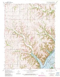
1968 Map of Blue Rapids SW
USGS Topo · Published 1983About this map
Tuttle Creek Lake dominates the southeast corner of this landscape, its waters filling the Blue Valley at the convergence of the Blue River and several significant tributaries. The terrain is defined by the uplands of Cottage Hill and Blue Rapids, where a high density of rural cemeteries and religious sites suggests a deeply rooted agrarian community. Family and community life centers around landmarks such as the Prairie Ridge Community Hall, Center Hill Sch, and the Czech Ch.
Find a feature on this map
30 named features on this map. Tap any name to fly to it.
Don’t see what you’re looking for? This feature index may not catch every label — zoom into the map to look around manually.
Map Details
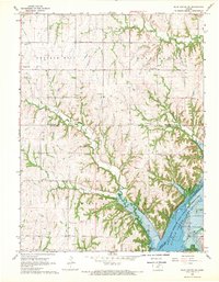
Editions of this 1968 Blue Rapids SW Map
2 editions found
Other maps of this area

1886 · Junction City
USGS Topo · 1:125,000

1889 · Marysville
USGS Topo · 1:125,000

1889 · Junction City
USGS Topo · 1:125,000

1894 · Junction City
USGS Topo · 1:125,000

1894 · Marysville
USGS Topo · 1:125,000

1955 · Manhattan
USGS Topo · 1:250,000

1956 · Manhattan
USGS Topo · 1:250,000

1957 · Manhattan
USGS Topo · 1:250,000
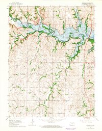
1964 · Randolph
USGS Topo · 1:24,000
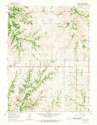
1964 · Olsburg
USGS Topo · 1:24,000