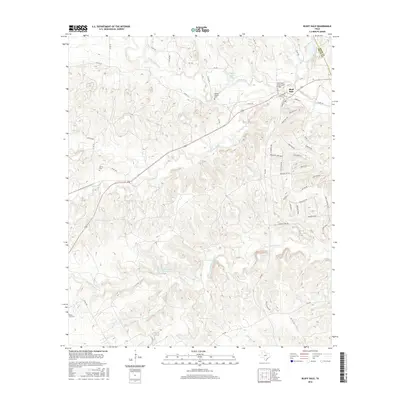
2016 Map of Bluff Dale
USGS Topo · Published 2016About this map
Bluff Dale and its surrounding countryside in Erath County are defined by the convergence of the N Paluxy River and S Paluxy River. This 2016 survey shows a landscape transitioning from traditional ranching and rural homesteads toward residential development, particularly evident in the subdivision street patterns around Hidden Lake and along Mountain Lakes Blvd. The area’s historical roots remain anchored by its burial grounds, including the Wesley Chapel Cem and Knob Hill Cem, which serve as vital markers for local genealogists. A notable landmark, the Bluff Dale Suspension Bridge, spans the river near the town center, while numerous creek systems like Indian Camp Cr and Crockett Cr carve through the terrain. The presence of Foster Lake Number 1 and Foster Lake Number 2 highlights the regional reliance on water management for land use in this part of Texas.
Find a feature on this map
65 named features on this map. Tap any name to fly to it.
Don’t see what you’re looking for? This feature index may not catch every label — zoom into the map to look around manually.
Map Details
Editions of this 2016 Bluff Dale Map
This is the sole edition of this map. No revisions or reprints were ever made.
Other maps of this area

1889 · Granbury
USGS Topo · 1:125,000

1890 · Stephenville
USGS Topo · 1:125,000

1920 · Stephenville
USGS Topo · 1:125,000

1931 · Tolar
USGS Topo · 1:62,500

1954 · Dallas
USGS Topo · 1:250,000

1954 · Abilene
USGS Topo · 1:250,000

1958 · Dallas
USGS Topo · 1:250,000

1958 · Abilene
USGS Topo · 1:250,000
1960 · Tolar
USGS Topo · 1:24,000

1961 · Johnsville
USGS Topo · 1:24,000