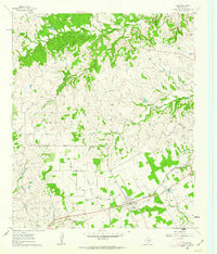
1960 Map of Tolar
USGS Topo · Published 1963About this map
Tolar serves as the central hub of this North Texas landscape, situated at the intersection of local roads and the Gulf Colorado and Santa Fe railroad. The surrounding terrain is defined by a series of significant watercourses, including Robinson Creek, Strouds Creek, and Squaw Creek, which carve through the countryside and influence the placement of early homesteads and communities. Evidence of early settlement is particularly dense, as seen through a high concentration of family and community burial grounds such as Martin Cem, Antioch Cem, and the Asbury Cemetery.
Find a feature on this map
22 named features on this map. Tap any name to fly to it.
Don’t see what you’re looking for? This feature index may not catch every label — zoom into the map to look around manually.
Map Details
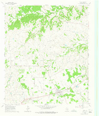
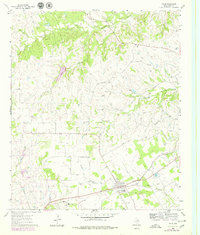
Editions of this 1960 Tolar Map
Other maps of this area

1889 · Granbury
USGS Topo · 1:125,000

1890 · Stephenville
USGS Topo · 1:125,000

1891 · Weatherford
USGS Topo · 1:125,000

1891 · Palo Pinto
USGS Topo · 1:125,000

1893 · Weatherford
USGS Topo · 1:125,000

1918 · Palo Pinto
USGS Topo · 1:125,000

1920 · Stephenville
USGS Topo · 1:125,000

1923 · Granbury 2-a
USGS Topo · 1:48,000

1924 · Weatherford 3-d
USGS Topo · 1:48,000

1931 · Dennis
USGS Topo · 1:62,500