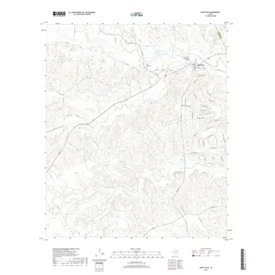
2019 Map of Bluff Dale
USGS Topo · Published 2019About this map
Bluff Dale anchors this portion of Erath County, situated at a bend where the N Paluxy River and S Paluxy River converge into the main Paluxy River. The town's historic footprint is clearly defined by residential streets like Church St and Jenkins St, while the notable Bluff Dale Suspension Bridge provides a concrete link to the area's river-crossing history.
Find a feature on this map
63 named features on this map. Tap any name to fly to it.
Don’t see what you’re looking for? This feature index may not catch every label — zoom into the map to look around manually.
Map Details
Editions of this 2019 Bluff Dale Map
This is the sole edition of this map. No revisions or reprints were ever made.
Other maps of this area

1889 · Granbury
USGS Topo · 1:125,000

1890 · Stephenville
USGS Topo · 1:125,000

1920 · Stephenville
USGS Topo · 1:125,000

1931 · Tolar
USGS Topo · 1:62,500

1954 · Dallas
USGS Topo · 1:250,000

1954 · Abilene
USGS Topo · 1:250,000

1958 · Dallas
USGS Topo · 1:250,000

1958 · Abilene
USGS Topo · 1:250,000
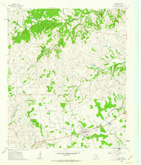
1960 · Tolar
USGS Topo · 1:24,000

1961 · Johnsville
USGS Topo · 1:24,000