
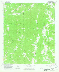
1967 Map of Bluff
USGS Topo · Published 1968About this map
The community of Bluff and the surrounding rural landscapes of Lamar and Fayette counties are defined by a network of country churches and family burial grounds in this late 1960s survey. The terrain is deeply carved by numerous waterways, most notably Hells Creek and Turkey Creek, which create a complex system of ridges and valleys. Small-scale resource extraction is evident through several Gravel Pits scattered across the township, while the road network connects isolated landmarks like Kirkland Sch and Wayside Sch.
Find a feature on this map
41 named features on this map. Tap any name to fly to it.
Don’t see what you’re looking for? This feature index may not catch every label — zoom into the map to look around manually.
Map Details
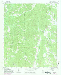
Editions of this 1967 Bluff Map
3 editions found
Other maps of this area

1953 · Birmingham
USGS Topo · 1:250,000

1953 · West Point
USGS Topo · 1:250,000

1956 · Birmingham
USGS Topo · 1:250,000

1957 · Birmingham
USGS Topo · 1:250,000

1958 · West Point
USGS Topo · 1:250,000

1963 · West Point
USGS Topo · 1:250,000

1967 · Winfield SE
USGS Topo · 1:24,000

1967 · Beaverton
USGS Topo · 1:24,000

1967 · Hightogy
USGS Topo · 1:24,000

1967 · Fayette
USGS Topo · 1:24,000